Walton on the Hill Walks
4.8 miles (7.8 km)
![]()
![]() This Surrey based village is located near Tadworth in the North Downs.
This Surrey based village is located near Tadworth in the North Downs.
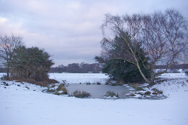
This circular walk explores Walton Heath and Banstead Heath which lie just to the south of the settlement. The walk starts in the centre of the village next to the pretty mere pond.
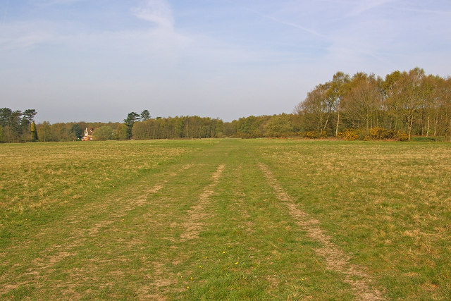
There's miles of footpaths on the heaths with features including meadow grasses, wildflowers, woodland and mixed heather. You'll also pass around the old golf course whose former members include King Edward VIII, Winston Churchill and David Lloyd George.
Walton on the Hill Ordnance Survey Map  - view and print off detailed OS map
Walton on the Hill Open Street Map  - view and print off detailed map
Walton on the Hill OS Map  - Mobile GPS OS Map with Location tracking
Walton on the Hill Open Street Map  - Mobile GPS Map with Location tracking
Walks near Walton on the Hill
- Tadworth - This Surrey based village is surrounded by some lovely North Down scenery.
- Banstead Heath - This large open space in Banstead has lots of walking trails to follow
- Banstead Downs - This walk crosses Banstead Downs Site of Special Scientific Interest in Surrey
- Banstead Woods - These lovely woods in Surrey have miles of well marked walking paths and a nature trail to follow
- Epsom Downs - This circular walk takes you around Epsom Downs racecourse in Surrey
- Epsom Common - Follow this cycle and walking track around this large open space in Surrey
- Ashtead Common National Nature Reserve - This 500 acre ancient wooded common is also a National Nature Reserve
- Thames Down Link - This walk links the Thames Path and North Downs Way National Trails
- Colley Hill - Climb to the 722 ft (220 m) summit of Colley Hill on this walk in the North Downs
- Reigate and Banstead Millennium Trail - This splendid walk was devised by Reigate and Banstead Borough Council to celebrate the new millennium
- Reigate Hill and Gatton Park - This circular walk explores Reigate Hill and Gatton Park in the North Downs
- Reigate Heath - This walk explores Reigate Heath on the western side of the town
- Betchworth - This small village is located near Dorking in Surrey
- Brockham - This award winning village sits in a fine spot in the Mole Valley of Surrey
- Horton Country Park - This country park and nature reserve is located near Epsom in Surrey
- Leatherhead - The town of Leatherhead is in a good position for walking, situated on the edge of the North Downs and Surrey Hills AONB


