Tegg's Nose Walk
![]()
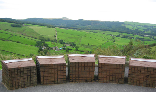
![]() This lovely country park in Macclesfield has splendid views of the Peak District National Park and the Cheshire plain. You can also see Macclesfield Forest, the summit of Shutlingsloe (the second highest point in Cheshire), the Telecoms Tower on Sutton Common and the Macclesfield Canal. This circular walk starts at the car park at the northern end of the park and heads south to the viewpoints. At the southern end you'll descend to Teggsnose Wood, Tegg's Nose Reservoir and Bottoms Reservoir. There's some nice waterside trails to try here before returning to the car park on other footpaths on the eastern side of the park.
This lovely country park in Macclesfield has splendid views of the Peak District National Park and the Cheshire plain. You can also see Macclesfield Forest, the summit of Shutlingsloe (the second highest point in Cheshire), the Telecoms Tower on Sutton Common and the Macclesfield Canal. This circular walk starts at the car park at the northern end of the park and heads south to the viewpoints. At the southern end you'll descend to Teggsnose Wood, Tegg's Nose Reservoir and Bottoms Reservoir. There's some nice waterside trails to try here before returning to the car park on other footpaths on the eastern side of the park.
The landscape includes meadow, moorland and woodland while there is also a waterside section aroung Tegg's Nose Reservoir. The park has a very good Visitors Centre where you can find out details of the cycle and walking routes in the park. Click here to see the Tegg's Nose to Parkgate cycle route details.
The Gritstone Trail walking route also runs through the park so there is scope for continuing your walk. Macclesfield Forest and Trentabank Reservoir lie just to the east where you will find more good walking trails.
Please click here for more information
Tegg's Nose Country Park Ordnance Survey Map  - view and print off detailed OS map
Tegg's Nose Country Park Open Street Map  - view and print off detailed map
Tegg's Nose Country Park OS Map  - Mobile GPS OS Map with Location tracking
Tegg's Nose Country Park Open Street Map  - Mobile GPS Map with Location tracking
Pubs/Cafes
On the walk you can stop for refreshments at the excellent Leather's Smithy. This fine pub is located next to Ridgegate Reservoir, just to the east of Bottoms Reservoir. There's a great selection of ales and a nice beer garden to relax in when the weather is good. You can find the pub on Clarke Ln, at the north western tip of Ridgegate Reservoir. Postcode is SK11 0NE.
You could also visit the village of Rainow which lies just to the north. The village has a fine local pub in the shape of the Robin Hood where you could enjoy some relaxation and refreshment after your exercise. The pub has a large car park and a fine outdoor decking area with splendid views towards White Nancy and other Peak District hills.
The quaint old inn also serves fine food with a good tapas selection on the menu.
You can find them at Chapel Brow with postcode SK10 5XE for your sat navs.
Further Information and Other Local Ideas
The 12.5 mile circular Macclesfield Walk starts from the nearby town and visits the park as well as several of the other local walking highlights.
To the east there's the highest point in Cheshire to visit on the Shining Tor and Cats Tor Walk. In this area you'll also find some easy waterside walking around Lamaload Reservoir, Errwood Reservoir and Fernilee Reservoir.
Just to the south west there's Sutton Reservoir and Danes Moss Nature Reserve to explore. The reservoir is another nice place for a waterside stroll while the reserve has some pleasant boardwalks taking you over lowland raised bog. It's an interesting area with some rare flora and fauna to see. In this same area there's also the worthy village of Gawsworth. The village includes three noteworthy historic buildings including the 15th century Gawsworth Hall. The house and grounds of the historic Tudor house are well worth exploring.
Cycle Routes and Walking Routes Nearby
Photos
Sheep sculpture at Tegg's Nose Visitor Centre This sculpted sheep and natural boulder stand outside the Visitor Centre at the Tegg's Nose car park and viewpoint. The sculptures are very close to the gridsquare boundary; the road and entrance are in SJ9473
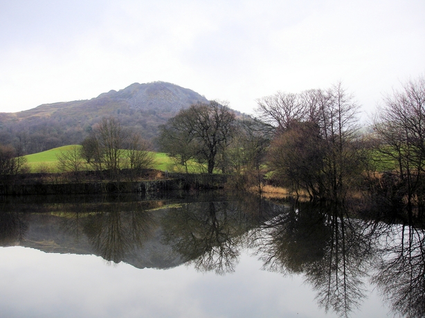
Bottoms Reservoir and Tegg's Nose View from Clarke Lane across Bottoms Reservoir to Tegg's Nose - winter reflections.


