Hereward Way
![]()
![]() Starting in Oakham, in Rutland, follow the Herward Way through Stamford, Peterborough, Ely, and the Breckland forests to Thetford, in Norfolk.
Starting in Oakham, in Rutland, follow the Herward Way through Stamford, Peterborough, Ely, and the Breckland forests to Thetford, in Norfolk.
Highlights on the walk include
- Following the path around Rutland Water at the start of the route. You'll also be able to explore the medieval market town of Oakham where there's some wonderful old architecture at the Norman castle and the 16th century Oakham School.
- The River Welland and Burghley House at Stamford
- The section along the River Nene and through Ferry Meadows Country Park in Peterborough
- The wonderful Welney WWT near Downham Market. The reserve is one of the best bird watching sites in the country.
- Following the River Nene through March in Cambridgeshire
- The magnificent Ely Cathedral and gardens
- Following the Little Ouse River through Brandon and Santon Downham where there's a notable 12th century church to see.
- Brandon Country Park and Thetford Forest
- The delightful RSPB Lakenheath Fen nature reserve near Brandon
- The final section through the Breckland Heaths and Forests
The walk is well waymarked with a yellow arrow featuring two swords.
Please click here for more information
Hereward Way Ordnance Survey Map  - view and print off detailed OS map
Hereward Way Open Street Map  - view and print off detailed map
Hereward Way OS Map  - Mobile GPS OS Map with Location tracking
Hereward Way Open Street Map  - Mobile GPS Map with Location tracking
Pubs/Cafes
The Harbour Cafe is in a lovely spot overlooking Whitwell Harbour on Rutland Water. It's a great place to stop on the route and rest your legs. The cafe is open 7 days a week from March until November then they open Friday, Saturday and Sunday through the Winter. They offer a wide variety of, cooked breakfasts, home cooked lunches, snacks, great coffee and cakes in a relaxed family friendly environment. There's a great outdoor seating area with fine views of the water. You can find the cafe on Bull Brigg Lane with a postcode of LE15 8BL for your sat navs.
In March there's The Ship Inn to consider. The historic thatched inn dates back to 1680 and sits in a lovely riverside location. Inside there's a charming interior with unusual carved beams said to have "fallen off a barge" during the building of Ely Cathedral. Outside there's a garden area where you can enjoy a view over the river and the boats with your meal. You can find them at 1 Nene Parade with postcode PE15 8TD for your sat navs.
In Barnack there's the Millstone to consider. It's an historic pub of some note, dating to 1672. They have bistro dining and a beautiful courtyard with it’s own outside bar. You can find them at a postcode of PE9 3ET for your sat navs.
Further Information and Other Local Ideas
At the end of the route near Thetford you can pick up the West Harling Circular Walk, located just to the south of the trail at the Roudham Medieval village. West Harling is an interesting old deserted village with a 13th century church and some nice trails to follow around the surrounding woodland and the River Thet which runs through the area.
Near Stamford you will pass the Barnack Hills And Holes National Nature Reserve. There's a rather interesting and unusual landscape here with grassy undulating slopes in an ancient medieval quarry. The site is noted for some signficant flora and fauna as well. You can find the reserve on the western side of Barnack village. Postcode for sat navs is PE9 3EU.
Cycle Routes and Walking Routes Nearby
Photos
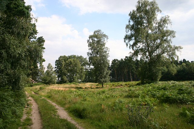
Croxton Heath The long-distance trail links Brandon with the Peddars Way at Bridgham Heath. Here, at Croxton Heath, the track passes through a mixed area of forest and open heathland.
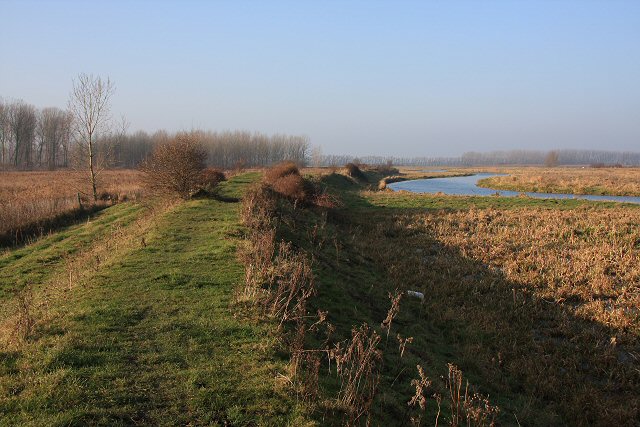
The trail at Whittlesey Dike.
The long-distance route follows the north bank of the dike at this point, south-east of the town of Whittlesey.
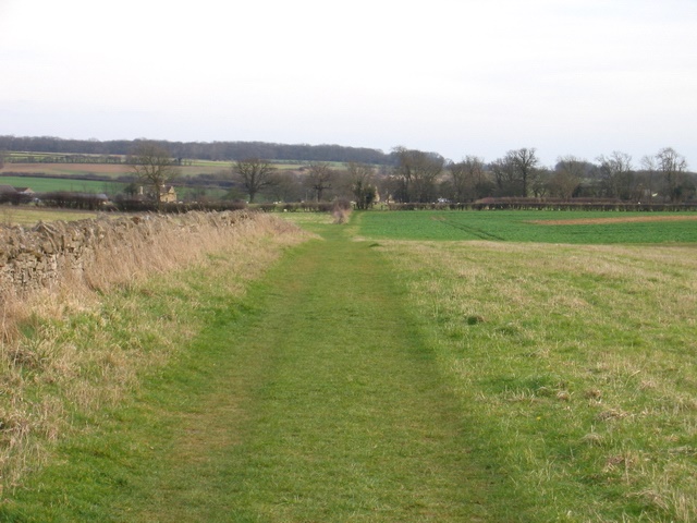
This is an autumnal view of the path.
Walcott Hall viewed from the trail. This Grade I listed Carolean country house is located in the hamlet of Southorpe. It is constructed of limestone ashlar in 2 storeys with attic with a rectangular floor plan of 9 by 5 bays and a Collyweston stone roof. The hall stands in some 120 acres of wooded parkland as part of a 1400-acre agricultural estate.


