High Wycombe Parks and Woods Walk
![]()
![]() This large Buckinghamishire town is a great place to go for a country walk with some several attractive woodland areas, views of the Chiltern Hills and the wonderful Hughenden Park to enjoy. With a train station on the Chiltern Main Line, the town is easily accessible from London with services operated by Chiltern Railways from London Marylebone. As such it's a great place to come for a country weekend walk if you coming from the capital.
This large Buckinghamishire town is a great place to go for a country walk with some several attractive woodland areas, views of the Chiltern Hills and the wonderful Hughenden Park to enjoy. With a train station on the Chiltern Main Line, the town is easily accessible from London with services operated by Chiltern Railways from London Marylebone. As such it's a great place to come for a country weekend walk if you coming from the capital.
This circular walk visits some of the highlights of the area including Hughenden Park, Naphill Common, Downley Common and Little Tinker's Wood.
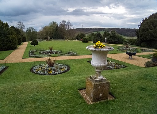
The walk starts just to the north of the town centre where you can pick up footpaths heading north to Hughenden Manor and Park. It's a short distance from the town centre and well worth exploring. On the site you will find 1,500 acres of parkland with woodland trails, pretty formal gardens and riverside paths to enjoy.
After exploring the park the route follows more footpaths north west through Flagmore Wood and then up to Naphill Common. Here you will find 55 acres (63 hectares) of woodland, paths, bridleways, ponds, heathland and open glades. You can also look out for a variety of wildlife including deer and a number of woodland birds.
After exploring Naphill the route turns south to visit the adjacent Downley Common. There's more nice trails, here with lots of pretty wildflowers and bluebells in the spring.
The final section of the route takes you through Little Tinker's Wood before returning to High Wycombe.
To extend the walk you could head south west from Naphill to visit West Wycombe Park. Here you will find West Wycombe House which includes 45 acres of landscaped gardens with a lovely large lake, views of the River Wyre, woodland paths and sweeping lawns to enjoy. Also nearby is the National Trust's Bradenham Woods. The walk here includes lovely Chiltern views and a visit to the delightful village of Bradenham. The woods can be easily visited from Saunderton which has a train station. To the west of the village you can pick up The Ridgeway and the Chiltern Way to further explore the Chilterns AONB.
The Chiltern Way Berkshire Loop long distance trail also starts in the town. The trail heads to Crowsley Park, near Henley on Thames, with nice riverside stretches along the river to enjoy.
High Wycombe Ordnance Survey Map  - view and print off detailed OS map
High Wycombe Open Street Map  - view and print off detailed map
High Wycombe OS Map  - Mobile GPS OS Map with Location tracking
High Wycombe Open Street Map  - Mobile GPS Map with Location tracking
Walks near High Wycombe
- Hughenden Manor Park - The 1,500 acres of parkland surrounding the red brick Victorian mansion of Hughenden Manor is great for a short walk in lovely surroundings
- West Wycombe Park - Explore the beautiful estate surrounding West Wycombe House on this walk in the Chilterns AONB
- Bradenham Woods - This circular walk explores the woodland and countryside surrounding the pretty village of Bradenham in the Chilterns
- Chiltern Way Berkshire Loop - This walk runs from the outskirts of High Wycombe to Crowsley Park, near Henley on Thames
- The Ridgeway - Step back in time on this wonderful 85 mile route which follows an ancient chalk ridge route used by prehistoric man
- Chiltern Way - This is the original 125 mile circuit of the Chilterns AONB taking you through Hemel Hempstead, Chalfont St Giles, Marlow, Hambleden, Turville, Fingest, Bix Bottom, Ewelme, the Ridgeway, Stokenchurch, Great Hampden, Aldbury, the Dunstable Downs Country Park, Sharpenhoe Clappers and Harpenden
- Downley Common - This walk visits Downley Common next to the Buckinghamshire village of Downley in the Chilterns near High Wycombe.
- Princes Risborough - This Buckinghamshire based town is in a great location for exploring the beautiful Chiltern Hills AONB.
This walk from the town's train station takes you to some of the highlights of the area - Great Missenden - Enjoy a circular walk around the village of Great Missenden in the Chilterns
- Penn Wood - This walk visits Penn Wood near High Wycombe and Amersham in Buckinghamshire.
- Wooburn Green - This pretty village is located near High Wycombe and Beaconsfield in Buckinghamshire.
Further Information and Other Local Ideas
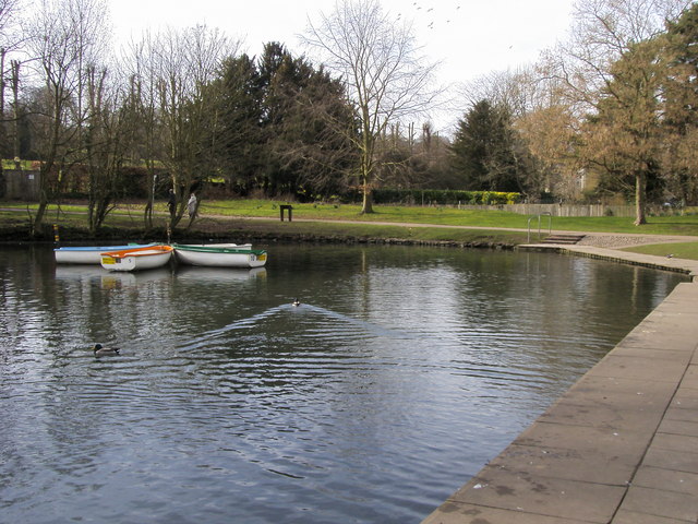
To continue your walking in the town you could head to the Pann Mill on the eastern side of the town centre. There's some nice trails along the River Wye next to the historic mill. Near here there's also the Dyke where you'll find a picturesque boating lake.
Just to the north east of the town there's the peaceful Penn Wood where you can look out for deer and enjoy some bluebell woodland walks during the spring months.
Photos
River Wye in High Wycombe. Viewed looking downstream from the bridge by Pann Mill, with The Rye to the right. This area to the south of the train station is a pleasant place for an easy stroll near the town centre.
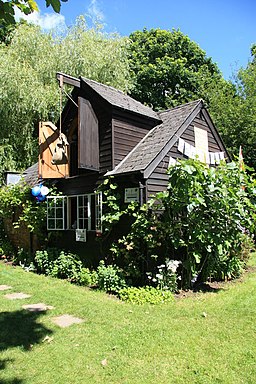
Pann Mill. This site consists of an original 1860 waterwheel with a modern timber building housing milling equipment moved from another mill in Buckinghamshire. The original mill was a much bigger building. The drive to the stones includes a belt drive, this is not original and is most unusual - but it works.


