Calder Valley Greenway
![]()
![]() This route runs from Huddersfield to Dewsbury along the Calder Valley Greenway.
This route runs from Huddersfield to Dewsbury along the Calder Valley Greenway.
The Greenway follows the signed National Cycle Route 69 for a distance of just under 9 miles. Most of the route is traffic free so is also suitable for walkers. Most of the trail follows the route of the old Midland Railway.
Starting at Huddersfield train station you head north to Bradley where you will cross the Bradley Viaduct over the River Colne and the Huddersfield Broad Canal. You continue east along dismantled railway lines to Mirfield where there are more pleasant river views. The final section takes you past Ravensthorpe before finishing close to Dewsbury train station.
Calder Valley Greenway Ordnance Survey Map  - view and print off detailed OS map
Calder Valley Greenway Open Street Map  - view and print off detailed map
Calder Valley Greenway OS Map  - Mobile GPS OS Map with Location tracking
Calder Valley Greenway Open Street Map  - Mobile GPS Map with Location tracking
Further Information and Other Local Ideas
In Dewsbury you could pay a visit to Dewsbury Country Park. There's good footpaths with orchards, wildflower meadows, ponds, lots of wildlife and views of the Spen Beck.
Cycle Routes and Walking Routes Nearby
Photos
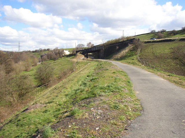
Kirkheaton. This is the section on the disused railway line between Helm Lane and Woodend Road. It is perhaps unusual in having been successfully claimed as a bridleway before negotiations had started for its use as a cycle route. Note the soft bridleway surface on the left and the tarmac for cycles on the right. The railway was the short-lived LMSR Huddersfield Branch Line.
Upstream end of flood channel, Dewsbury. This channel is along the former Dewsbury Canal, which was made redundant when the canal through Thornhill Lees was constructed. The towing path is a public footpath, so a footbridge was constructed to carry it over the channel. This photo was taken from the Calder Valley Greenway, along the path behind Island View.
Dewsbury. This section of the cycle route was constructed on a new line across derelict industrial land, between a redeveloped industrial estate (Tenterfields) and the flood channel. It is one of a series of cycle routes being provided by Kirklees Metropolitan Council in consulation with Kirklees Cycling Forum. The bridge in the distance carries Thornhill Road across the channel.


