Chard to Ilminster Cycle Path
![]()
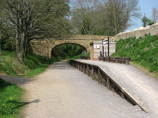
![]() This popular cycle route runs along a disused railway line from Chard to Ilminster in Somerset.
This popular cycle route runs along a disused railway line from Chard to Ilminster in Somerset.
The largely traffic free route runs for about 5 miles making it perfect for a family ride. On the way you will pass the lovely Chard Reservoir where you can look out for a wide variety of birdlife. Around Donyatt you'll pass the still visible old station and cross the River Isle with some fine countryside views.
The trail makes up a small part of the longer Bridgwater to Chard Cycle Route which will take you along Sustrans National Cycle Route 33 to Bridgwater.
Chard to Ilminster Cycle Path Ordnance Survey Map  - view and print off detailed OS map
Chard to Ilminster Cycle Path Open Street Map  - view and print off detailed map
Chard to Ilminster Cycle Path OS Map  - Mobile GPS OS Map with Location tracking
Chard to Ilminster Cycle Path Open Street Map  - Mobile GPS Map with Location tracking
Cycle Routes and Walking Routes Nearby
Photos
Chard Reservoir. The former reservoir and some of the surrounding land is now a nature reserve. The reservoir was built in 1842 to provide water for the nearby Chard Canal, and so became redundant in 1868 when the canal closed.


