Gospel Pass
![]()
![]() This cycle ride take you along the Gospel Pass, the highest road pass in Wales.
This cycle ride take you along the Gospel Pass, the highest road pass in Wales.
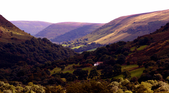
It's a challenging ride reaching a height of 549 metres (1,801 ft) at the high point. There some stunning views of the Black Mountains as you go.
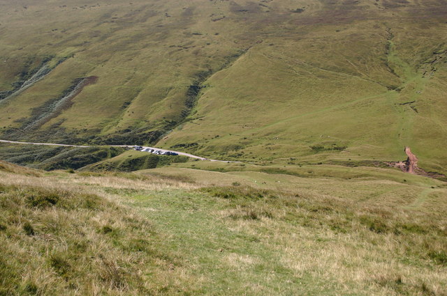
Start the ride in Hay on Wye and the follow roads south east out of the town. The country lanes will take you to Tack Wood where you turn south west and climb towards Lord Hereford's Knob (Twmpa) where you'll pass the Gospel Pass car park. Near here you can also start the climb to Hay Bluff.
The road continues south east through the Vale of Ewyas before finishing at the historic Llanthony Priory. Here you can enjoy refreshments at the hotel before returning to Hay on the same paths.
Gospel Pass Ordnance Survey Map  - view and print off detailed OS map
Gospel Pass Open Street Map  - view and print off detailed map
Gospel Pass OS Map  - Mobile GPS OS Map with Location tracking
Gospel Pass Open Street Map  - Mobile GPS Map with Location tracking
Pubs/Cafes
At the half way point of the ride you can stop and enjoy some refreshments at the Llanthony Priory Hotel. The site includes a small country inn, often known as the "Abbey Hotel", which sits within the original 12th century Augustinian priory. They have a good menu and a cosy interior with a vaulted ceiling and open log fire. You can find it at a postcode of NP7 7NN for your sat navs.
Further Information and Other Local Ideas
The epic Offa's Dyke Path runs alongside the pass, providing an opportunity for further exploring the area. For more cycling ideas in the area see the Brecon Beacons Cycle Routes page.
Cycle Routes and Walking Routes Nearby
Photos
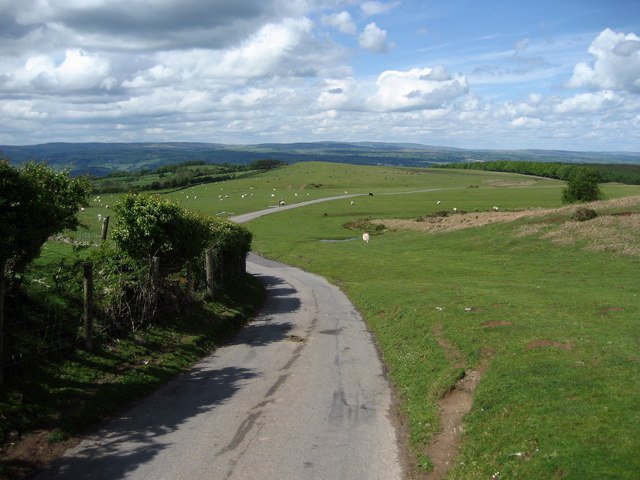
Freewheeling south east from the pass. The pass is a rare thing for cyclists. Most passes appear only after several false summits have left you dejected and drained of energy. Climbing from Hay-on-Wye, you get the worst over early, emerging onto a broad pasture high up on the mountainside with splendid views across the upper Wye Valley. The road heads towards an unbroken and towering skyline then, unexpectedly, a crevice appears in the flank of the mountain and Gospel Pass slips you through to the head of the Vale of Ewyas and a long downhill into Monmouthshire.


