Isle of Skye
![]()
![]() Cycle from Broadford to Portree on this terrific, waterside cycle route on the Isle of Skye.
Cycle from Broadford to Portree on this terrific, waterside cycle route on the Isle of Skye.
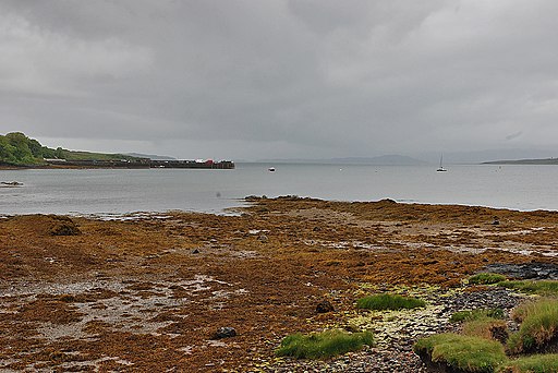
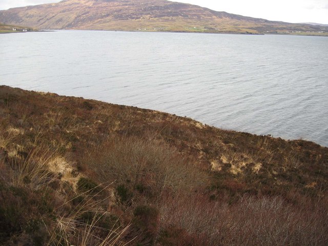
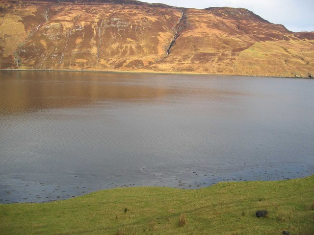
The 29 mile route starts at the lovely village of Broadford with great views of Broadford bay. You then follow the coastal road north west passing Loch na Cairidh and Loch Ainort while enjoying splendid views of Scalpay Island. You continue along the coast passing Loch Sligachan before a woodland section through Glen Varragill takes you to the finish at Portree, the largest town on the island.
The scenery on the island is breathtaking with heather moor, beautiful lochs and stunning mountains. Look out for wildlife that includes golden eagle, hawks and red deer.
Isle of Skye Ordnance Survey Map  - view and print off detailed OS map
Isle of Skye Open Street Map  - view and print off detailed map
Isle of Skye OS Map  - Mobile GPS OS Map with Location tracking
Isle of Skye Open Street Map  - Mobile GPS Map with Location tracking
Photos
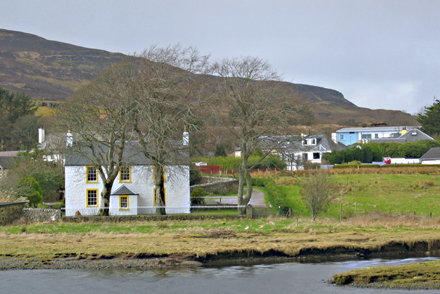
Tourist information office, Broadford. This small office stands in the corner of the village car park, and is only open during the main tourist season. Portree tourist information office is the main one on Skye, and is open all year.


