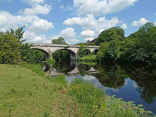
Leeds to York
32 miles (52 km)

 This ride takes you along National Cycle Network Route 66 from Leeds to York.
The route starts off in Leeds city centre and heads east along National Cycle Route 66 towards Garforth, passing the lovely Temple Newsam park on the way. You continue to Tadcaster before meeting up with the River Ouse around Bishopsthorpe. From here you head north along a traffic free section which takes you along the river into York.


