London to Box Hill
![]()
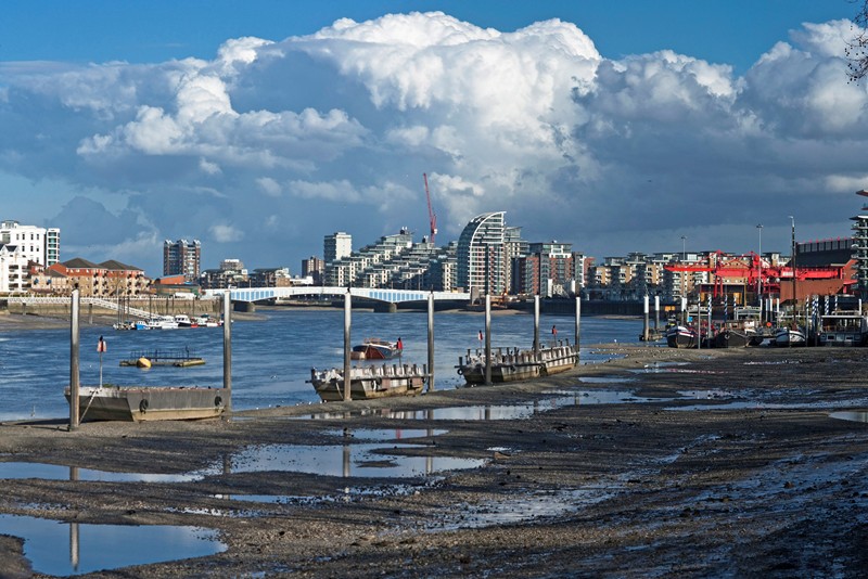
![]() Follow National Cycle Network routes from London to the lovely Box Hill Country Park in Surrey. The route starts on the Thames at Wandsworth and travels through outer London and the North Downs to the park. It runs for a distance of just over 20 miles with some traffic free sections and nice countryside views to enjoy on the way.
Follow National Cycle Network routes from London to the lovely Box Hill Country Park in Surrey. The route starts on the Thames at Wandsworth and travels through outer London and the North Downs to the park. It runs for a distance of just over 20 miles with some traffic free sections and nice countryside views to enjoy on the way.
The ride starts at Wandsworth by the river and near to the train station. You then head south, passing Merton and Earlsfield before a nice section along the Wandle Trail. You continue through Carshalton and Wallington before coming to Little Woodcote. You then head south west through Banstead, passing Epsom Downs and Headley Heath before finishing at Box Hill.
To extend the ride try our circular Boxhill Country Park Cycle Route which visits the nearby Ranmore Common. Here you'll find a number of nice woodland trails to try.


