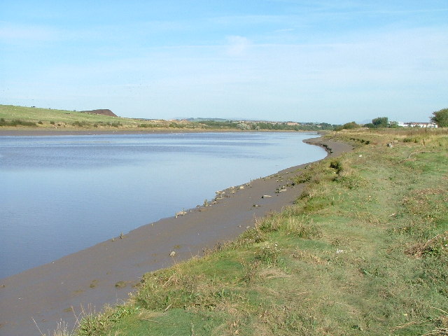
River Lune Estuary Footpath
![]()
![]() Explore the beautiful River Lune Estuary on this waterside walk near Lancaster. The walk begins in Lancaster and takes you along the Lancashire Coastal Way and the Lune Estuary Footpath to Glasson Dock. It's a nice footpath with lovely views across the Estuary towards Morcambe Bay and the Lake District Mountains in the distance. Cyclists can also enjoy much of this section which forms part of the National Cycle Network.
Explore the beautiful River Lune Estuary on this waterside walk near Lancaster. The walk begins in Lancaster and takes you along the Lancashire Coastal Way and the Lune Estuary Footpath to Glasson Dock. It's a nice footpath with lovely views across the Estuary towards Morcambe Bay and the Lake District Mountains in the distance. Cyclists can also enjoy much of this section which forms part of the National Cycle Network.
Glasson Dock is an attractive marina which makes a nice point to stop for refreshments. You could also start the walk from here and head north along the river to Lancaster if you prefer. This walk continues past the marina towards Cockersands Abbey, passing the old lighthouse on the way. At the abbey grounds you can see the 13th century vaulted chapter house. It is still intact and is a Grade I listed building and Scheduled Ancient Monument.
From the abbey you head inland, through the countryside, towards Lower Thurnham. You then follow the Lancaster Canal and the River Conder back to Glasson Dock.
Return to Lancaster via the Lune Estuary Footpath and Lancashire Coastal Way.
Lune Estuary Footpath Ordnance Survey Map  - view and print off detailed OS map
Lune Estuary Footpath Open Street Map  - view and print off detailed map
Lune Estuary Footpath OS Map  - Mobile GPS OS Map with Location tracking
Lune Estuary Footpath Open Street Map  - Mobile GPS Map with Location tracking
Explore the Area with Google Street View 
Pubs/Cafes
At the pretty Conder Green near Glasson Dock there's a lovely picnic site with views of the tidal River Conder. There's also the historic Mill at Conder where you can enjoy some fine dishes in a scenic location. They have seating next to the canal and a lovely garden with countryside views. You can find them on Thurnham Lane at postcode LA2 0BD.
Further Information and Other Local Ideas
At Glasson Dock you could head a short distance south to explore the lovely Cockerham Sands where you can pay a visit to the historic Cockersand Abbey. You can also pick up the towpath of the Lancaster Canal at Glasson.
For more walking ideas in the area see the Lancashire Walks page.
Cycle Routes and Walking Routes Nearby
Photos
Aldcliffe Marsh Cutting, Lancaster. Three miles from Lancaster the cyclepath that utilises the former branch line to Glasson Dock passes through a cutting and then runs alongside the River Lune. This is the cutting looking south.


