Minet Country Park
![]()
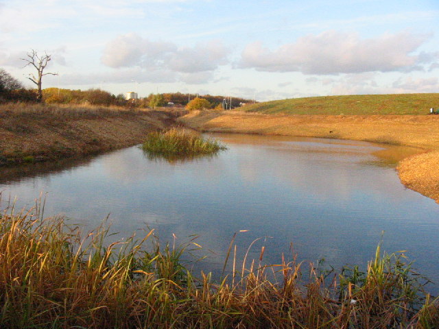
![]() This country park in Hillingdon includes ponds, grassland and a variety of wild plants and flowers. There's some nice footpaths to follow around the site which includes picnic areas, meadows and hedgerows. It's also home to the Hillingdon Cycle Circuit. The purpose-built road cycling circuit is about 1 mile long and a great place for a leisurely ride. The video below shows the nice wide surfaced path with views over the park.
This country park in Hillingdon includes ponds, grassland and a variety of wild plants and flowers. There's some nice footpaths to follow around the site which includes picnic areas, meadows and hedgerows. It's also home to the Hillingdon Cycle Circuit. The purpose-built road cycling circuit is about 1 mile long and a great place for a leisurely ride. The video below shows the nice wide surfaced path with views over the park.
The Grand Union Canal passes the south side of the park so it's easy to extend your outing by picking up the towpath. If you head west you can visit Lake Farm Country Park where you will find meadows, grassland, a trim trail and a BMX track.
The long distance Hillingdon Trail also passes through the park. You can follow it north and then west to visit the pretty Yeading Brook.
Postcode
UB4 0LP - Please note: Postcode may be approximate for some rural locationsMinet Country Park Ordnance Survey Map  - view and print off detailed OS map
Minet Country Park Open Street Map  - view and print off detailed map
Minet Country Park OS Map  - Mobile GPS OS Map with Location tracking
Minet Country Park Open Street Map  - Mobile GPS Map with Location tracking
Dog Walking
The park is a popular place for dog walkers so you're likely to see other owners on your visit.
Further Information and Other Local Ideas
Head north west along the Hillingdon Trail and you can link up with the Colne Valley Trail near Harefield. The shared walking and cycling trail will take you along a series of pretty lakes and the River Colne. The Celandine Route also runs just to the east of the trail. It will take you along the River Pinn from Pinner to Cowley.
For more walking ideas in the area see the London Walks page.
Cycle Routes and Walking Routes Nearby
Photos
Pond, Minet Country Park. The country park is newly created from a derelict area used partly as car boot sale, & for motor cycle scrambling. It is now an attractive country park. Its features include a cycle track, children's playground, lodge, & areas that make it a nature reserve appreciated by many bird species & other wild life.
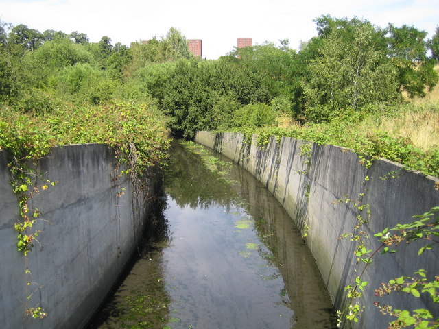
Giant hogweed near the Yeading Brook to the south of the park. This "escapee" from Kew Gardens has spread along the waterways.


