GPS Cycle and Walking Routes

National Cycle Route 49

21 miles (34 km)

This signed Sustrans cycle route runs from Abergavenny to Newport along the Monmouthshire and Brecon Canal.
It's a lovely easy ride following the canal towpath past Pontypool and Cwmbran for a distance of about 23 miles.
See the cycling video below for an idea of what to expect on the route. Scroll down further for the full gpx file.

National Cycle Route 49 OS Map - Mobile GPS OS Map with Location tracking

National Cycle Route 49 Open Street Map - Mobile GPS Map with Location tracking

Cycle Routes and Walking Routes Nearby

Photos

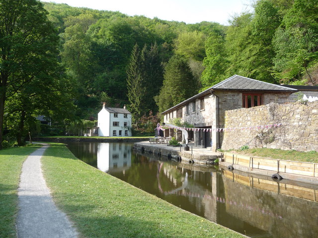
Llanfoist Wharf - geograph.org.uk - 2403631

Llanfoist Wharf

Monmouthshire and Brecon Canal in Pontypool (9217)

Monmouthshire and Brecon Canal in Pontypool

Canal fishing, Cwmbran - geograph.org.uk - 1993311

Canal fishing, Cwmbran

Lock on the Monmouthshire ^ Brecon canal near Newport - geograph.org.uk - 2021971

Lock on the Monmouthshire ^ Brecon canal near Newport

Video

GPS Files

GPX File

National Cycle Route 49.gpx (On Desktop:Right Click>'Save As. On Ipad/Iphone:Click and hold>Share>Save to Files')