Tweed Cycleway

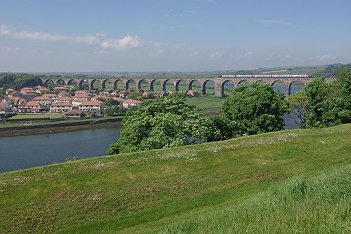
 The Tweed Cycleway takes you from Berwick-Upon-Tweed in England to Biggar in Scotland.
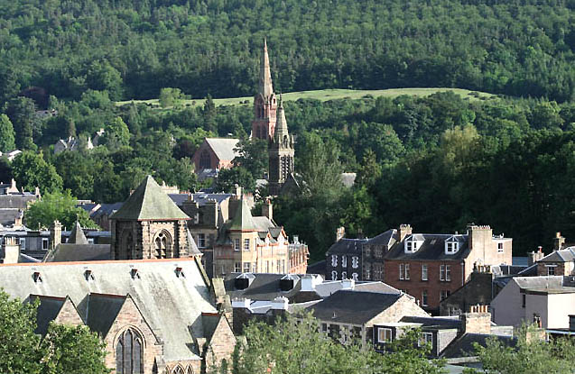
The route runs for about 100 miles through the Scottish Borders, passing Melrose, Galashiels, Innerleithen and Peebles before finishing in Biggar in South Lanarkshire. The cycleway follows mainly quiet country lanes with lovely views of the surrounding hills and the River Tweed.
Route highlights include the traffic free section along the Tweed Valley Railway Path. This section runs from Innerleithen to Peebles along an old railway path which closed in the 1960s. You can also access the excellent mountain bike trails and waymarked walks in the expansive Glentress Forest from the route.
Tweed Cycleway Ordnance Survey Map  - view and print off detailed OS map
Tweed Cycleway Open Street Map  - view and print off detailed map
Tweed Cycleway OS Map  - Mobile GPS OS Map with Location tracking
Tweed Cycleway Open Street Map  - Mobile GPS Map with Location tracking
Further Information and Other Local Ideas
In Peebles you can continue your exploration of the old railway on the Neidpath Tunnel Walk. This will take you along the railway line to the Neidpath Viaduct before entering the murky tunnel.


