Abbeystead Reservoir
![]()
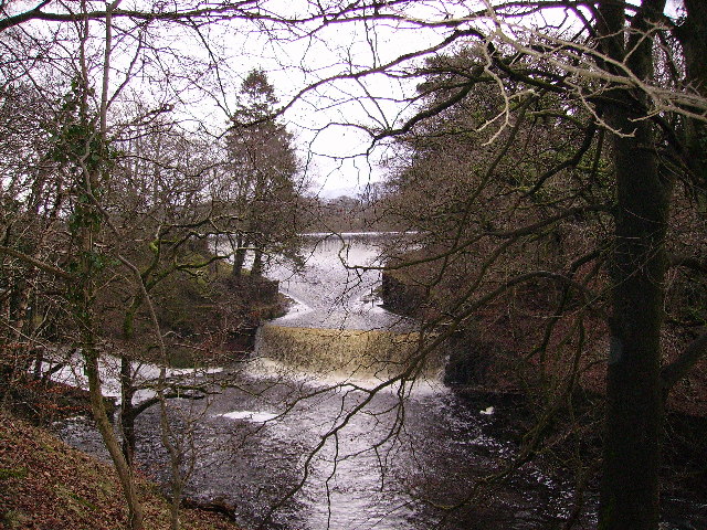
![]() This short circular walk takes you around Abbeystead Reservoir in the Forest of Bowland. The reservoir has an impressive curved weir and is surrounded by some beautiful countryside.
This short circular walk takes you around Abbeystead Reservoir in the Forest of Bowland. The reservoir has an impressive curved weir and is surrounded by some beautiful countryside.
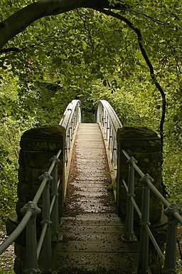
This walk starts in Abbeystead and follows the Wyre Way footpath along the southern shore of the reservoir. You'll pass near to the waters edge with a woodland section through Hinberry Wood. You then pass the weir and Bank Wood before returning to Abbeystead. It's a fairly easy, 1.6 mile walk with lovely views of the River Wyre and the Forest of Bowland countryside and hills.
Postcode
LA2 9BQ - Please note: Postcode may be approximate for some rural locationsAbbeystead Reservoir Ordnance Survey Map  - view and print off detailed OS map
Abbeystead Reservoir Open Street Map  - view and print off detailed map
Abbeystead Reservoir OS Map  - Mobile GPS OS Map with Location tracking
Abbeystead Reservoir Open Street Map  - Mobile GPS Map with Location tracking
Further Information and Other Local Ideas
A few miles north of the reservoir you can climb to Clougha Pike and enjoy wonderful views over Morecambe Bay, Snowdonia and the Lake District Fells.
The Wyre Way starts/finishes at the site. The 45 mile waymarked trail will take you along the River Wyre to Fleetwood on the Wyre Estuary.
The climb to Wolfhole Crag starts at the Stoops Bridge car park on the eastern side of the village. This takes you to the summit along the Tarnbrook Wyre where you'll find a series of pretty waterfalls and weirs. Just west of here you can also visit Wards Stone, the highest hill in the Forest of Bowland.
For more walking ideas in the AONB see the Forest of Bowland Walks page.
Cycle Routes and Walking Routes Nearby
Photos
Weir at Abbeystead. On the River Wyre a surprisingly large weir beyond it is an old reservoir which is said to hold 158 million gallons of water.


