Affric Kintail Way

 This long distance trail runs from Loch Ness to Morvich via Glen Urquhart and Glen Affric.
The 43 mile route is fully waymarked and suitable for both walkers and mountain bikers. You'll pass along historic drove roads with some stunning scenery to enjoy on the way. Highlights include a series of beautiful lochs, ancient woodland and stunning glens. The route finishes near Loch Duich where there are some fine views of the River Croe Estuary.
The walk starts at the village of Drumnadrochit and heads west through the woodland of Glen Urquhart, passing to the south of Loch Meiklie.
You continue west, crossing the River Enrick and passing through Kerrow Wood before arriving at the village of Cannich. There's nice views of the River Glass and the option of stopping for refreshments here.
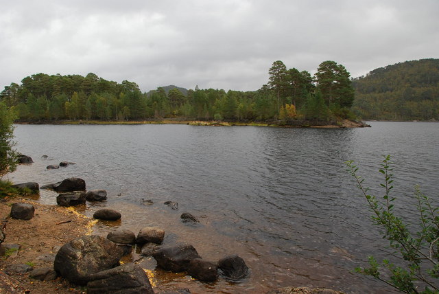
The route then heads south west through the woods of Strathglass to Glen Affric where you will pass along the southern side of Loch Beinn a`Mheadhoin and Loch Affric.
The next stage runs through the Glenaffric Forest to the Kintail Forest where you pick up the River Croe. The final section then runs north west along the river to the finish point at Morvich.
See the videos below for videos of the route which expose the wonderful scenery you can expect to see. Towards the bottom there is the complete gpx file for the route.
Please click here for more information
Affric Kintail Way Ordnance Survey Map  - view and print off detailed OS map
Affric Kintail Way Open Street Map  - view and print off detailed map
Affric Kintail Way OS Map  - Mobile GPS OS Map with Location tracking
Affric Kintail Way Open Street Map  - Mobile GPS Map with Location tracking
Further Information and Other Local Ideas
Just east of the start/finish point at Drumnadrochit you can visit the historic Urquhart Castle. The 13th century castle ruins are positioned in a dramatic spot on the shores of Loch Ness.
In Glen Affric you can visit the Dog Falls Trail at the north eastern end of Loch Beinn a' Mheadhainand. There's more nice waterfalls to see at Plodda Falls which is located just south east of Loch Beinn a`Mheadhoin.


