Alton Barnes White Horse Walk
![]()
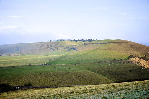
![]() This circular walk takes you to a chalk hill figure on Milk Hill near the Wiltshire village of Alton Barnes. The walk additionally visits the neighbouring village of Stanton Bernard and the Kennet and Avon Canal which runs past Alton Barnes.
This circular walk takes you to a chalk hill figure on Milk Hill near the Wiltshire village of Alton Barnes. The walk additionally visits the neighbouring village of Stanton Bernard and the Kennet and Avon Canal which runs past Alton Barnes.
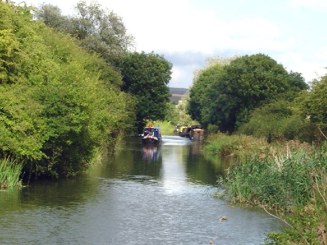
The walk starts in the village at the Barge Inn on the canal at Honeystreet, just south west of the village. You first follow the canal east before following a section of the Sarsen Way north to reach the hill. Here you can enjoy some excellent views of the White Horse and over the Vale of Pewsey.
The route then descends to Stanton Bernard where you can pick up the canal towpath. Follow this east and it will return you to the pub.
Alton Barnes White Horse Ordnance Survey Map  - view and print off detailed OS map
Alton Barnes White Horse Open Street Map  - view and print off detailed map
Alton Barnes White Horse OS Map  - Mobile GPS OS Map with Location tracking
Alton Barnes White Horse Open Street Map  - Mobile GPS Map with Location tracking
Pubs/Cafes
The walk starts and finishes at the waterside Barge Inn. This historic pub is located right next to the canal and includes an outdoor seating area wih glorious views across the canal to the Marlborough Downs and the White Horse. It's the ideal place to relax in and watch the world go by on warm summer days. The pub also has an interesting history having originally been built in 1810 to service the newly built Kennet and Avon canal, it was the equivalent of a modern day motorway service station. It then burnt down in the 1850s only to be rebuilt in record time so it now stands as it did then. The pub can be found just to the west of Pewsey in Honeystreet, near Alton Barnes. Postcode for you sat navs is SN9 5PS.
Cycle Routes and Walking Routes Nearby
Photos
White Horse Near Milk Hill. The horse is approximately 180 feet high and 160 feet long, and was cut in 1812 under the commission of local farmer Robert Pile


