Amberley to Arundel Walk
![]()
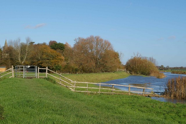
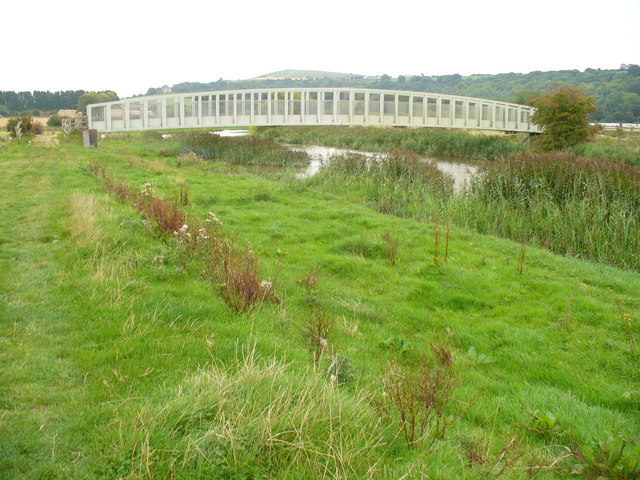
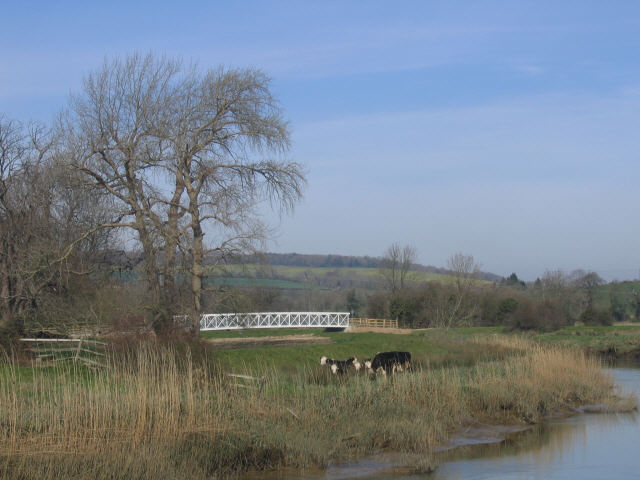
![]() A popular riverside walk along the River Arun from Amberley to Arundel. The walk takes you along a delightful waterside footpath and includes a visit to the splendid Arundel Castle and Arundel Park on the return leg.
A popular riverside walk along the River Arun from Amberley to Arundel. The walk takes you along a delightful waterside footpath and includes a visit to the splendid Arundel Castle and Arundel Park on the return leg.
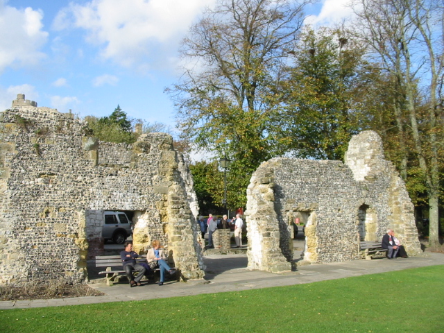
The walk starts in Amberley where you follow a public footpath west towards Bury. Here you pick up the riverside trail and follow it south past Houghton, South Stoke and Offham before coming into Arundel. There's great views of the medieval castle as you pass through the town.
On the return leg you pick up a section of the Monarch's Way long distance trail to take you through the expansive Arundel Park. Here you'll find woodland trails, a lovely lake and the splendid Arundel Wetland Centre where you can look out for a wide variety of wildlife including water voles and rare geese.
The trail eventually leads you back to Houghton where you pick up the river again and follow it back to Amberley.
If you would like a shorter walk you can always just catch the train back from Arundel to Amberley rather than come back through the park.
To continue your walking in the area you could try our Amberley Circular Walk which takes you onto the beautiful South Downs to the south of the village.
You could also visit the Slindon Estate and Angmering Park Estate Woods where there are more fine trails to try.
Amberley to Arundel Ordnance Survey Map  - view and print off detailed OS map
Amberley to Arundel Open Street Map  - view and print off detailed map
Amberley to Arundel OS Map  - Mobile GPS OS Map with Location tracking
Amberley to Arundel Open Street Map  - Mobile GPS Map with Location tracking
Pubs/Cafes
In Arundel head to the St Mary’s Gate Inn. The pub has a fascinating history having been built in the 26th year of the reign of Henry VIII in 1525. The two other letting rooms which have been part of the building since the 16th century housed Oliver Cromwell and his guardsmen during the mid-1600. The pub has a great menu, good selection of ales and a cosy log fire. You can find it near the castle on London Rd at Postcode BN18 9BA.
The Red Lion on the High Street is another great option. This one dates back to the 18th century and includes a large beer garden to relax in. You can find it at postcode BN18 9AG.
Further Information and Other Local Ideas
The route passes the worthy village of Burpham which is well worth exploring. The delightful riverside settlement includes picturesque thatched cottages, a Grade I listed Saxon Church and a century-old cricket pitch where W. G. Grace played. There's also a fine 18th century inn for refreshment.
For more walking ideas in the area see the South Downs Walks page.


