Ashurst New Forest Walks
![]()
![]() With its own train station and easy access to a number of walking trails, the village of Ashurst is a popular visitor attraction.
With its own train station and easy access to a number of walking trails, the village of Ashurst is a popular visitor attraction.
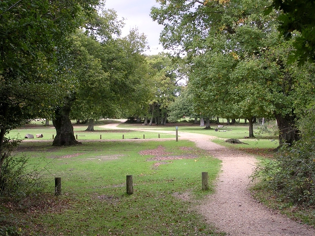
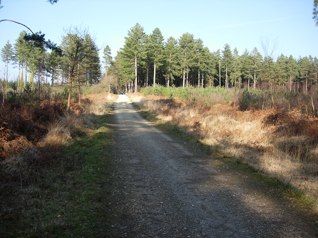
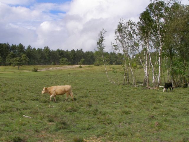
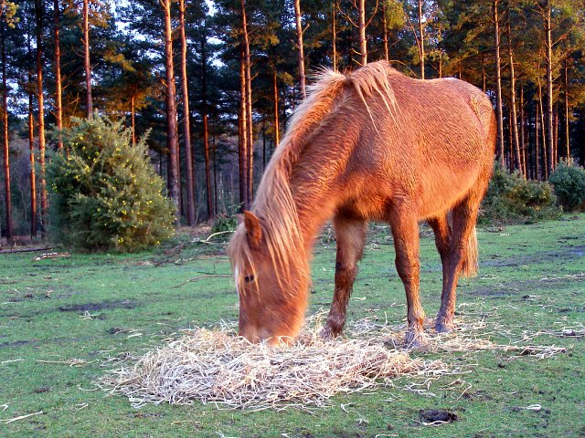
This circular walk takes you through the woodland on the south eastern side of the village. Starting from the train station you head through Ashurst Wood, the Longdown Inclosure, the Deerlap Inclosure and the Churchplace Inclosure. Along the way you should see New Forest Ponies and cattle.
You could extend the walk by continuing west onto Longwater Lawn where there are nice views of the Beaulieu River.
Ashurst New Forest Ordnance Survey Map  - view and print off detailed OS map
Ashurst New Forest Open Street Map  - view and print off detailed map
Ashurst New Forest OS Map  - Mobile GPS OS Map with Location tracking
Ashurst New Forest Open Street Map  - Mobile GPS Map with Location tracking
Walks near Ashurst New Forest
- Furzey Gardens - Enjoy a peaceful stroll around these beautiful gardens in Minstead in the New Forest
- Dibden Inclosure - This area of the New Forest is a popular spot for walkers
- Rufus Stone - This walk visits the historic Rufus Stone in the New Forest
- Acres Down - This circular walk explores the Acres Down area of the New Forest near the village of Minstead.
- Bolderwood Deer Sanctuary - This is a short walk in the New Forest taking you around the Bolderwood Deer Sanctuary
- Testwood Lakes - Enjoy an easy, waterside walk around these two pretty lakes in Totton, on the eastern edge of the New Forest
- Totton - This Hampshire based town is located near Southampton and the New Forest National Park
Further Information and Other Local Ideas
Head a few miles north west and you could pay a visit to Minstead. The unspoilt village includes a pretty village green, thatched cottages, a popular local pub and a historic 13th century church. The Minstead Walk visits the beautiful Furzey Gardens before heading to the Rufus Stone just to the north east of the gardens. This historical stone apparently marks the spot where King William II was fatally wounded with an arrow, during a royal hunting outing in the Forest, in the year 1100. It's another local highlight with some nice tranquil walking trails and a picnic area.
The Acres Down Walk also starts near Minstead. It visits the lovely Bolderwood Deer Sanctuary and the pretty streams and woodland of the Highland Water Inclosure
For more walking ideas in the area see the New Forest Walks page.


