Audenshaw Reservoir Walk
![]()
![]() This walk uses waymarked walking trails to visit the Ashton Canal and the Gorton Reservoirs in Audenshaw, Manchester. It's a nice waterside walk, taking place on largely flat trails.
This walk uses waymarked walking trails to visit the Ashton Canal and the Gorton Reservoirs in Audenshaw, Manchester. It's a nice waterside walk, taking place on largely flat trails.
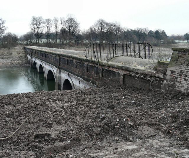
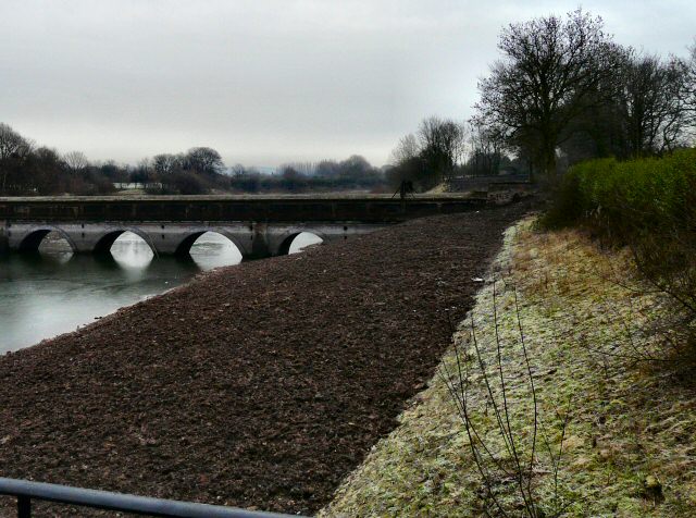
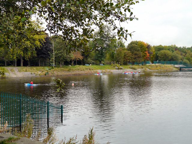
The walk starts from the Guide Bridge train station which is right next to the canal in Audenshaw. You can pick up the towpath and follow it west toward Fairfield. Here you pick up the Tameside Trail and follow it south towards the reservoirs. You'll pass along the Upper and Lower Gorton Reservoirs before coming to Debdale Park where the route finishes.
To extend the walk continue south on the Tameside Trail and you will soon come to Reddish Vale Country Park. The park contains a Visitor Centre, woodland trails, Community Orchard and Garden, Butterfly Conservation Field and a Dipping Pond. Highfield Country Park is also located in this area in Levenshulme.
Postcode
M34 3QJ - Please note: Postcode may be approximate for some rural locationsAudenshaw Reservoir Walk Ordnance Survey Map  - view and print off detailed OS map
Audenshaw Reservoir Walk Open Street Map  - view and print off detailed map
Audenshaw Reservoir Walk OS Map  - Mobile GPS OS Map with Location tracking
Audenshaw Reservoir Walk Open Street Map  - Mobile GPS Map with Location tracking
Pubs/Cafes
The Fairfield Arms is located just to the north west of the reservoir. The Victorian pub serves good quality dishes and has a nice patio/garden area to sit out in. You can find them at postcode M34 5GB. Fairfield train station is located in this area too so you could start the walk from here if you would like to come by public transport.
Further Information and Other Local Ideas
Both the Fallowfield Loop and the Manchester Cycleway pass the reservoirs. These cycling trails use an old railway line to explore the area on an off road path.
Cycle Routes and Walking Routes Nearby
Photos
Gorton Lower Reservoir. The reservoirs were completed between 1825 and 1826. Able to supply almost 1 million imperial gallons of water per day to the city of Manchester and the surrounding area; they were used until 1963.


