Bangor Trail - Wild Nephin Beg Mountains
![]() This waymarked walking trail takes you from Bangor Erris to the Wild Nephin National Park in County Mayo.
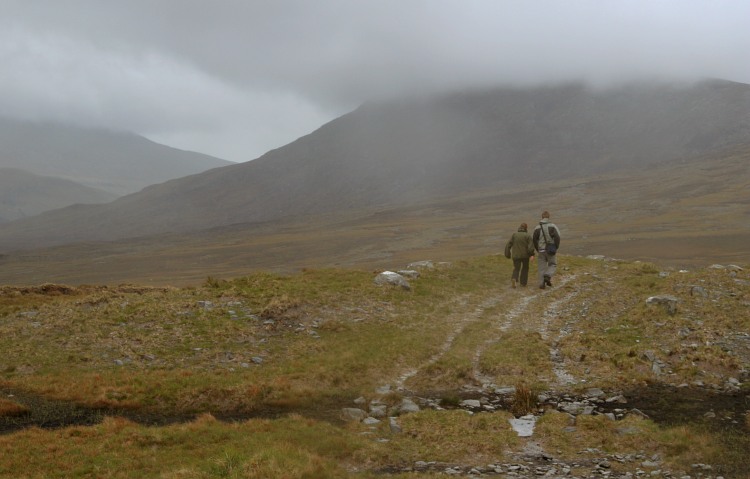
It's a challenging hike taking you through Atlantic blanket bog terrain and the Nephin Beg Mountain range.
This waymarked walking trail takes you from Bangor Erris to the Wild Nephin National Park in County Mayo.
It's a challenging hike taking you through Atlantic blanket bog terrain and the Nephin Beg Mountain range.
The linear trail runs for about 25km following an ancient drover path through a remote area. As such the walk is best suited to experience walkers and climbers.
See the wild camping video below for more information on the dramatic scenery you can expect to see on the route.
Bangor Trail Open Street Map  - view and print off detailed map
Ireland Walking Map - View All the Routes in the Country>>
Bangor Trail Open Street Map  - Mobile GPS Map with Location tracking
Further Information and Other Local Ideas
Just to south of Bangor Erris you can pick up the Great Western Greenway at Achill. The shared cycling and walking route follows a disused railway line from Achill to Westport.
Also near the start point there's the Erris Head Loop Walk to try. The popular circular walk explores a wonderful coastal headland with lots of seabirds and fabulous views.
To the north there's the Carrowteige Loop Walk and the Portacloy Loop Cliff Walk. This remote area has a number of excellent waymarked trails with fine views over Broadhaven Bay from the rugged cliff tops.

