Bedelands Nature Reserve Walk
![]()
![]() This walk visits the Bedelands Farm Nature Reserve in Burgess Hill, West Sussex.
This walk visits the Bedelands Farm Nature Reserve in Burgess Hill, West Sussex.
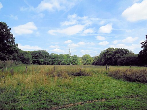
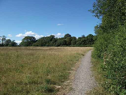
The reserve is located on the northern outskirts of the town. You can follow a series of pleasant footpaths around the site's bluebell woodland, wildflower meadows, grazed meadows, wetland and ancient hedgerows. There's also a pretty lake and a picturesque waterfall to see.
The area is great for wildlife with birds suchs as Great Spotted Woodpecker, Lesser Spotted Woodpecker, Eurasian Green Woodpecker, Long-eared Owl, Sparrowhawk, Mistle Thrush, Common Raven, Eurasian Kestrel and Eurasian Treecreeper to look out for.
To continue your walking in the area head south east to explore Ditchling Common Country Park. The common is a fine open space for walking with miles of trails and a wildlife pond.
Bedelands Nature Reserve Ordnance Survey Map  - view and print off detailed OS map
Bedelands Nature Reserve Open Street Map  - view and print off detailed map
Bedelands Nature Reserve OS Map  - Mobile GPS OS Map with Location tracking
Bedelands Nature Reserve Open Street Map  - Mobile GPS Map with Location tracking
Cycle Routes and Walking Routes Nearby
Photos
Valebridge Viaduct. Taking the London-Brighton line over small valley formed by a tributary of the western Adur. Taken from Valebridge Road, an old route which now connects Burgess Hill to Haywards Heath. The gate to the left is an entrance to Bedelands Farm Nature Reserve.


