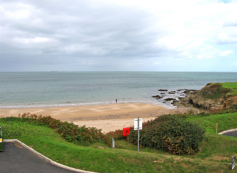
Benllech to Red Wharf Bay Walk
1 miles (2 km)

 This walk takes you along a section of the Anglesey Coast Path from the village of Benllech to Red Wharf Bay Bay.
The route runs for a distance of just over a mile, following a steadily rising footpath. You can start the walk off from the public car park at Benllech Sand and pick up the waymarked trail from there. You'll pass around the rocks at Trwyn Dwlban and the adjacent quarry before descending to Red Wharf Bay. Here you can explore the picturesque pools and the photogenic rock formations in what is a geologically interesting area.
To continue your walking in the area head north on the Benllech to Moelfre Coastal Path.


