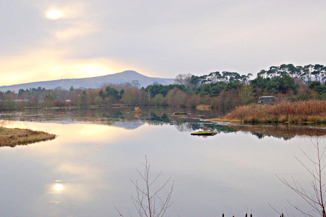
Birnie Loch

 This circular walk takes you around the Birnie Loch and Gaddon Loch Nature Reserve in Colessie in North East Fife.
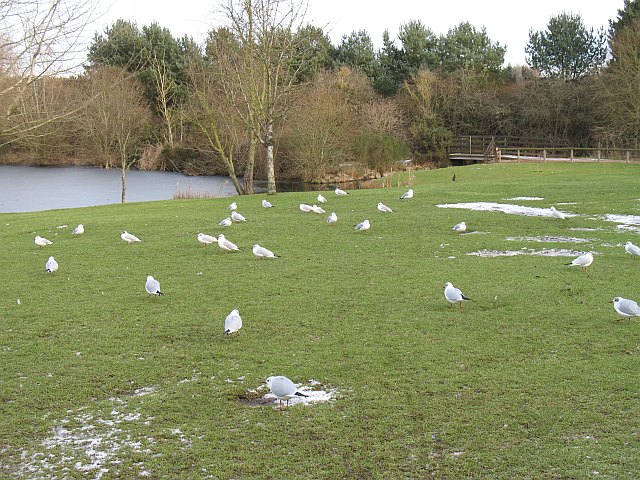
The waterside paths at the lochs are a pleasant place for an easy stroll. You can start the walk from the car park at the southern end of the site and then pick up the footpaths taking you around the two lochs. As you make your way around the loch look out for a variety of wildfowl on the water.
The site is located a few miles west of Cupar.
Postcode
KY15 7UT - Please note: Postcode may be approximate for some rural locationsBirnie Loch Ordnance Survey Map  - view and print off detailed OS map
Birnie Loch Open Street Map  - view and print off detailed map
Birnie Loch OS Map  - Mobile GPS OS Map with Location tracking
Birnie Loch Open Street Map  - Mobile GPS Map with Location tracking
Further Information and Other Local Ideas
Head north and you could pick up the epic Fife Coastal Path at Newburgh and enjoy a walk along the Firth of Tay. Lindores Loch and Lochmill Loch are also nearby.
Just to the south west you'll find one of the walking highlights of the area at Maspie Den. The den is located just west of the historic village of Falkland and includes peaceful woodland and series of picturesque waterfalls.


