Black Crag Walk
![]()
![]() This walk climbs to a lovely viewpoint above Tarn Hows in the Lake District National Park. Black Fell is located just a few miles north of Coniston, and is the high point in the hilly area bounded by Windermere, Langdale and Coniston.
This walk climbs to a lovely viewpoint above Tarn Hows in the Lake District National Park. Black Fell is located just a few miles north of Coniston, and is the high point in the hilly area bounded by Windermere, Langdale and Coniston.
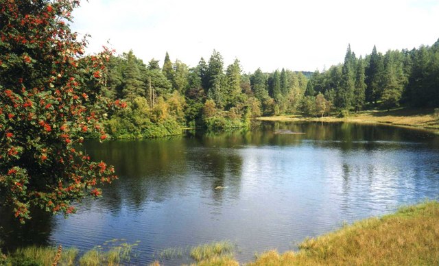
The walk starts from the Tarn Hows car park and follows the footpath along the eastern side of the lakes. This opening section is quite flat with lovely views over the still waters of this delightful beauty spot.
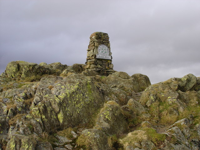
After leaving the tarns the walk continues through the woodland of the Iron Keld plantation, before the final, steeper section takes you up to the 323 m (1,060 ft) Black Crag summit. Here you will find an Ordnance Survey triangulation column complete with a National Trust sign. There's also magnificent views of the Coniston and Langdale Fells.
This walk returns to the start point on the same path but if you wanted to explore the fell further you can head west from the summit to Low Arnside.
To extend your walk you can pick up the Cumbria Way and follow it north to Colwith Force Waterfall.
On the opposite side of the lake you can enjoy a similar climb to Holme Fell with a nice visit to Yew Tree Tarn on the way.
Just to the south of the car park you can visit the National Trust owned Monk Coniston estate. There's nice woodland trails and pretty gardens to be found here.
Black Crag Ordnance Survey Map  - view and print off detailed OS map
Black Crag Open Street Map  - view and print off detailed map
Black Crag OS Map  - Mobile GPS OS Map with Location tracking
Black Crag Open Street Map  - Mobile GPS Map with Location tracking
Pubs/Cafes
At the Tarn Hows car park there's an ice cream van selling tea, coffee and English Lakes ice cream. This is generally only there during the summer months though. You could head into nearby Hawkshead or Coniston where there are a good range of pubs and cafes.


