Bodenham Lake
![]()
![]() This walk takes you along the peaceful Bodenham Lake in Herefordshire. The creation of this picturesque wildlife site was funded by the National Lottery Heritage Fund and the European Regional Development Fund. It won the Canal and Rivers Trust Living Waterways Award in 2019.
This walk takes you along the peaceful Bodenham Lake in Herefordshire. The creation of this picturesque wildlife site was funded by the National Lottery Heritage Fund and the European Regional Development Fund. It won the Canal and Rivers Trust Living Waterways Award in 2019.
You can park at the car park at the eastern end of the lake to start your walk. Then pick up the trails heading along the northern side of the water.
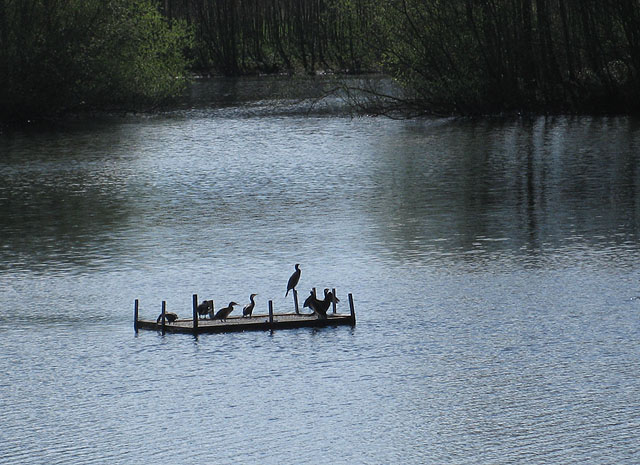
The site is also a nature reserve where you can look out for a variety of water loving wildlife on the water. Over 160 species of birds have been recorded here while otters are regularly spotted. In particular look out for the cormorants perched in the surrounding trees or congregating on the island in the middle of the lake.
To the south of the lakes there's also a public footpath heading along the River Lugg. You can pick it up at Bodenham Bridge in the village on the eastern side od the site. Just to the west is the expansive Queenswood Country Park where there is a beautiful arboretum to explore.
Postcode
HR1 3JT - Please note: Postcode may be approximate for some rural locationsBodenham Lake Ordnance Survey Map  - view and print off detailed OS map
Bodenham Lake Open Street Map  - view and print off detailed map
Bodenham Lake OS Map  - Mobile GPS OS Map with Location tracking
Bodenham Lake Open Street Map  - Mobile GPS Map with Location tracking
Further Information and Other Local Ideas
To the west is the delightful village of Weobley where you can see the historic Norman church, several photogenic medieval dwellings and The Ley, a Grade-I listed farmhouse dating to 1589. The Black and White Village Trail can also be picked up here. This long distance footpath explores several of the towns and villages of the county. It's named after the wonderful old timber framed buildings which are typical of the area.
For more walking ideas in the area see the Hereford Walks and the Herefordshire Walks pages.
Cycle Routes and Walking Routes Nearby
Photos
West end of Bodenham Lake. A single cloud floats by on a sunny Easter Saturday at Bodenham Nature Reserve. This is the west end of Bodenham Lake, formed from flooded gravel pits, which is reserved for the wildlife; the east end is used by a sailing club. View west towards Queenswood Country Park.
Bodenham Lake Nature Reserve. Poplars and blackthorn line the path which leads to the lake, the sailing club and the bird hide.
Approaching the sailing club. The nature reserve has been formed in an area formerly used for gravel extraction. When gravel extraction came to an end in 1985, the pits, which had gradually filled with water, were linked together resulting in the lake, Herefordshire’s largest body of open water. Leominster District Council purchased the land in 1994 to safeguard the site for informal recreation and conservation. The ownership passed to Herefordshire Council at Local Government re-organisation in 1998. The sailing club is part of an educational facility.
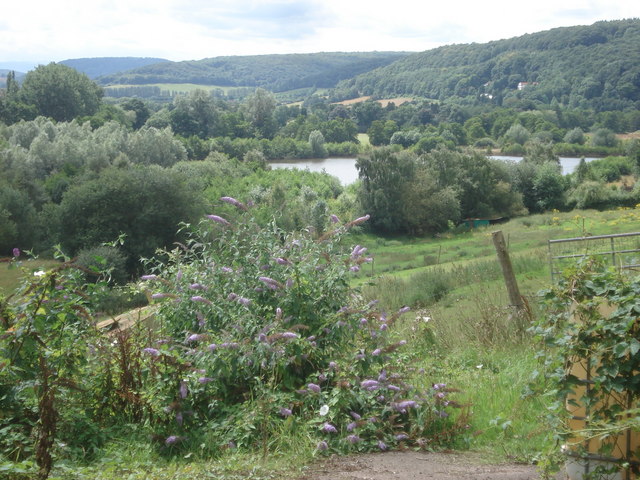
Looking south-west across the lakes with Queenswood in the background and some buddleia in the foreground.


