Bridlington to Flamborough Head Coastal Walk
![]()
![]() Enjoy a wonderful coastal hike from Bridlington to Flamborough Head on the North York Moors coast. It's a great cliff top section of the path with large numbers of seabirds to look out for on the way. The route runs for a distance of about 6 miles so 12 miles there and back.
Enjoy a wonderful coastal hike from Bridlington to Flamborough Head on the North York Moors coast. It's a great cliff top section of the path with large numbers of seabirds to look out for on the way. The route runs for a distance of about 6 miles so 12 miles there and back.
Starting at the harbour at Bridlington you head north along North Sands to Sewerby. Here you will pass the Grade I listed Georgian country house of Sewerby Hall. You could take a detour from the route to visit the hall and enjoy the splendid 50 acre landscaped gardens.
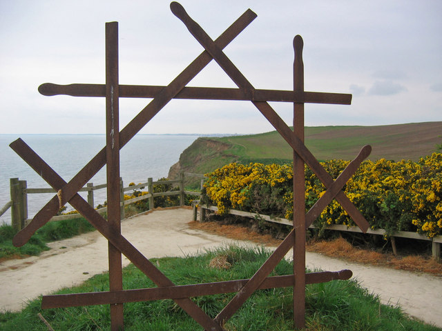
The route continues past the wooded valley of Dane's Dyke before coming to the impressive cliffs at South Landing. Here you can enjoy a nice picnic area and a number of interesting sculptures.
The final section takes you past the South Landing Lifeboat station before coming to Flamborough Head. It's a fabulous spot with a number of large sea stacks, wonderfull cliffs, pretty bays and the oldest surviving lighthouse in Britain. The area is also designated as a nature reserve so look out for large seabird colonies including auks, gannets and gulls.
The East Riding Heritage Way passes through Flamborough Head so you could continue along this path to the nearby Bempton Cliffs where you can see more seabirds.
Bridlington to Flamborough Head Coastal Walk Ordnance Survey Map  - view and print off detailed OS map
Bridlington to Flamborough Head Coastal Walk Open Street Map  - view and print off detailed map
Bridlington to Flamborough Head Coastal Walk OS Map  - Mobile GPS OS Map with Location tracking
Bridlington to Flamborough Head Coastal Walk Open Street Map  - Mobile GPS Map with Location tracking
Pubs/Cafes
On Flamborough Head you can visit the 19th century North Star Hotel for refreshments. There's fine sea views and an award-winning restaurant renowned for its fresh Flamborough seafood and wild game caught on the Yorkshire Wolds.
Further Information and Other Local Ideas
If you head a few miles west you could visit the village of Rudston. It's well known for it's ancient monolith and adjacent Grade I listed church. The photogenic stone is said to be the tallest standing stone remaining in England.
A few miles south west of Bridlington there's the lovely Tophill Low Nature Reserve to explore. The reserve includes two pretty reservoirs and easy footpaths along the River Hull. It's a great place for birdwatching with several hides dotted around the site. Near here is also the worthy vlllage of Brandesburton with its medieval church and historic 16th century pub
To the south there's the worthy village of Skipsea where you can explore the photogenic ruins of the 11th century Skipsea Castle. You could follow the Barmston and Fraisthorpe To Bridlington Beach Walk for part of the way. This will take you along the lovely stretch of sandy beach to neighbouring Barmston via the medieval village of Auburn.
For more walks in the area see the North York Moors Walks page.


