Brinscall Walks
![]()
![]() This pretty village is located near Chorley in the county of Lancashire. It's a nice place to start a walk with woods, canals and nearby reservoirs to visit on foot. The village is also close to the West Pennine Moors where there are numerous hiking and cycling trails to try.
This pretty village is located near Chorley in the county of Lancashire. It's a nice place to start a walk with woods, canals and nearby reservoirs to visit on foot. The village is also close to the West Pennine Moors where there are numerous hiking and cycling trails to try.
This walk takes you south along The Goit Canal to the nearby Anglezarke Reservoir.
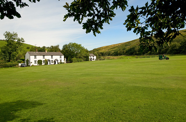
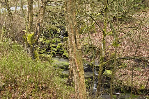
The walk starts in the village and heads south along a pleasant waterside path running along side the Goit Canal. You'll pass the Hatch Brook Waterfall and the picturesque White Coppice where there's a cricket field and a series of small reservoirs to see.
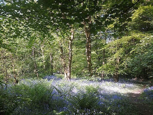
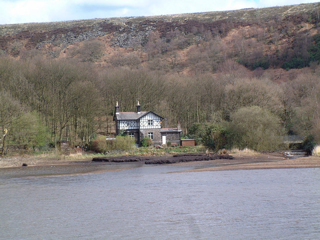
The walk continues south past the woodland and waterfalls at Strontstrey Bank before coming to the expansive Anglezarke Reservoir. Here you enter the Rivington Estate where you can explore Rivington Country Park,Rivington Pike and Rivington Reservoir.
Postcode
PR6 8QP - Please note: Postcode may be approximate for some rural locationsBrinscall Ordnance Survey Map  - view and print off detailed OS map
Brinscall Open Street Map  - view and print off detailed map
Brinscall OS Map  - Mobile GPS OS Map with Location tracking
Brinscall Open Street Map  - Mobile GPS Map with Location tracking
Walks near Brinscall
- Anglezarke Reservoir - This circular cycle and walk loop takes you around the pretty Anglezarke Reservoir near Chorley
- Chorley - This circular walk explores the countryside, canals and parks surrounding the Lancashire town of Chorley
- Chorley Canal Walk - Enjoy a waterside walk from Chorley to Adlington along a pleasant section of the Leeds and Liverpool Canal
- White Coppice - This delightful walk takes you along a series of reservoirs near the little hamlet of White Coppice in Lancashire
- Healey Nab - Enjoy woodland, rolling hills, moorland, ponds and streams in this elevated area of countryside above Chorley
- Leeds and Liverpool Canal - Enjoy waterside cycling and walking along Britain's longest single canal
- Rivington Country Park - This lovely country park is on the edge of the West Penine Moors and makes for a fine afternoon's cycling with its reservoirs, woods and splendid scenery
- Rivington Pike - This popular walk climbs to the Rivington Pike viewpoint in the lovely Rivington Country Park, near Bolton.
- Rivington Reservoir - Enjoy a stroll along the Rivington Reservoirs on this waterside walk in Rivington Country Park, near Bolton.
The walk starts from the Rivington Hall Barn car park at the southern end of the lower reservoir - Yarrow Valley Country Park - Enjoy a long, waterside walk along the River Yarrow in this splendid 700 acre country park in Chorley, Lancashire
- Astley Park - This pretty park in Chorley has walking paths and a cycle track to enjoy
- Duxbury Woods - Enjoy a walk along the River Yarrow and through Duxbury Woods on this easy route in Chorley
- Cuerden Valley Park - This lovely short ride or walk takes you through the Cuerden Valley Country Park in Bamber Bridge, Lancashire.
- Roddlesworth Reservoir - Enjoy a circular walk around these pretty reservoirs near Darwen in Lancashire
- Abbey Village Reservoir - This walk visits the Abbey Village Reservoir near Abbey Village in Lancashire
- Withnell Nature Reserve - This walk visits the Withnell Nature Reserve in Brinscall, Lancashire.
Pubs/Cafes
Back in the village you can enjoy post walk refreshment at The Cricketers Arms. There's a good sized outdoor area here with a raised beer garden which consists of a lawned area, paved patio to the rear and a number of picnic benches. You can find them at 94 School Lane with a postcode of PR6 8QP for your sat navs.
Dog Walking
The woodland and waterside trails are ideal for dog walking. The Crciketers mentioned above is also dog friendly.
Further Information and Other Local Ideas
If you head north east from the village you could visit Withnall, Abbey Village Reservoir, Rake Brook Reservoir and Roddlesworth Reservoir. The long distance Witton Weavers Way can also be picked up in this area.
To the north of the settlement you can pick up the Withnell Nature Reserve trail and enjoy an easy walk through an area rich with flora and fauna.
For more walking ideas in the area see the West Pennine Moors Walks and the Lancashire Walks pages.


