Brockadale Woods Nature Reserve
![]()
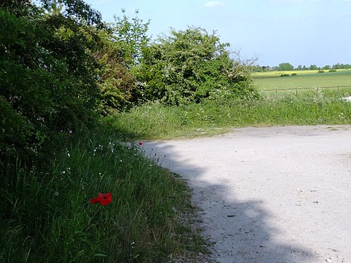
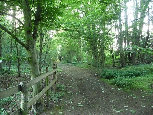
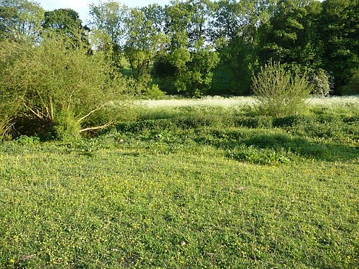
![]() This lovely nature reserve near Pontefract has miles of woodland walking trails and a riverside path along the River Went.
This lovely nature reserve near Pontefract has miles of woodland walking trails and a riverside path along the River Went.
You can reach the reserve by following a footpath along the River Went from the nearby village of Wentbridge or from the car park on Leys Lane just east of the reserve. At the reserve you can visit the steep sided gorge of the River Went with its craggy cliffs and interesting vegetation. It's a really beautiful place in the spring and summer months with carpets of bluebells and lots wildflowers which attract a variety of butterflies. Look out for Marbled White, Dark Green Fritillary, Small Tortoiseshell and Gatekeeper. There's also dragonflies, yellow hammer birds, woodpeckers, foxes and common lizards to look out for. There's a wide diversity of plantlife with 350 plant species including cowslip, orchids, bellflower and common dog-violet.
To extend your walk you could continue east along public footpaths towards Kirk Smeaton and Little Smeaton.
Postcode
WF8 3LJ - Please note: Postcode may be approximate for some rural locationsPlease click here for more information
Brockadale Nature Reserve Ordnance Survey Map  - view and print off detailed OS map
Brockadale Nature Reserve Open Street Map  - view and print off detailed map
Brockadale Nature Reserve OS Map  - Mobile GPS OS Map with Location tracking
Brockadale Nature Reserve Open Street Map  - Mobile GPS Map with Location tracking
Pubs/Cafes
Just to the east in Kirk Smeaton there's The Shoulder of Mutton for some post walk refreshment. The friendly village pub serves good food and has a lovely large garden area to relax in on warmer days. You can find them on Main Street with a postcode of WF8 3JY for your sat navs.
Dog Walking
The reserve's woods and meadows are a lovely place for a dog walk so you'll probably see other owners on your visit. You are requested to keep them on leads though because of the wildlife. Bins are dotted around the site. The Shoulder of Mutton pub mentioned above is dog friendly.
Further Information and Other Local Ideas
Head to Pontefract Park for some more nice walking trails. There's another nature reserve here with habitats including grassland, a lake, woodland, wetland and small areas of open water. Fairburn Ings Nature Reserve can be found near Castleford and Allerton Bywater.
Just to the south east near Norton there's Campsall Country Park to explore. There's woodland trails and two pretty lakes to enjoy here.


