GPS Cycle and Walking Routes

Bromyard Railway Walk

1 miles (1.8 km)

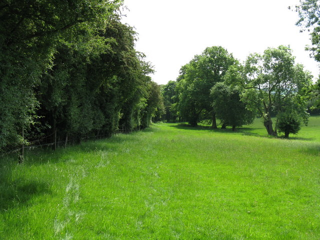
This walk follows public footpaths alongside the track of the old Bromyard Light Railway.
You can pick up the trails to the south east of the town around Washcroft.
This walk just explores a small area around the railway but in 2022 plans were announced to convert more of the line into a shared cycling and walking route.
The Worcester, Bromyard and Leominster Railway was closed in 1952 but remained open from Bromyard to Worcester until the Beeching axes in 1964.
To continue your walking in the area you could explore Bromyard Downs or the expansive Brockhampton Estate which lies just to the north.

Bromyard Railway Walk OS Map - Mobile GPS OS Map with Location tracking

Bromyard Railway Walk Open Street Map - Mobile GPS Map with Location tracking

Cycle Routes and Walking Routes Nearby

Photos

Bromyard and Linton Light Railway - geograph.org.uk - 109417

Bromyard and Linton Light Railway. In 1968 the 2 ft gauge Bromyard and Linton Light Railway was started on the bed of the old Worcester to Bromyard Railway. Today the Light Railway is no longer there. The track is still in situ and there are hopes that one day trains might return

Following the track - geograph.org.uk - 830593

Following the track. The footpath runs alongside the old Worcester-Bromyard railway trackbed.

Old House Farm - geograph.org.uk - 2670796

Old House Farm

Video

GPS Files

GPX File

Bromyard Railway Walk.gpx (On Desktop:Right Click>'Save As. On Ipad/Iphone:Click and hold>Share>Save to Files')