Brownsham Wood
![]()
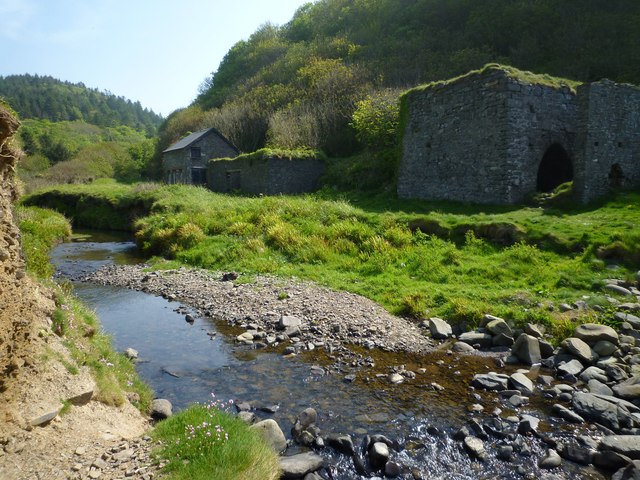
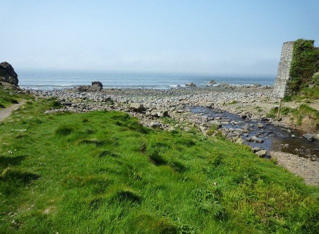
![]() This circular walk on the Devon Coast explores the woodland trails of Brownsham Wood before heading to the secluded Mouth Mill beach where you can see the impressive Blackchurch Rock.
This circular walk on the Devon Coast explores the woodland trails of Brownsham Wood before heading to the secluded Mouth Mill beach where you can see the impressive Blackchurch Rock.
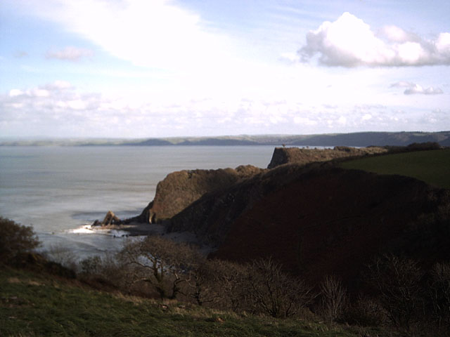
You'll then head along the coast to visit Brownsham Cliff and the Windbury Hillfort on the South West Coast Path.
The walk starts/finishes at the National Trust car park at Brownsham, located on the western side of the woods. On the varied walk there's peaceful woodland trails and some beautiful coastline to enjoy.
You can extend the walk by heading south east to neighbouring Clovelly. The pretty village is well worth a visit and is also the start/finish point for the Buck Mills to Clovelly Walk. For views of an extended circular walk to Clovelly from the wood, see the video below.
To the west there's the lovely Hartland Point and Hartland Quay to explore.
Postcode
EX39 6AN - Please note: Postcode may be approximate for some rural locationsBrownsham Wood Ordnance Survey Map  - view and print off detailed OS map
Brownsham Wood Open Street Map  - view and print off detailed map
Brownsham Wood OS Map  - Mobile GPS OS Map with Location tracking
Brownsham Wood Open Street Map  - Mobile GPS Map with Location tracking
Further Information and Other Local Ideas
South of Hartland Quay you'll find another local coastal highlight at Morwenstow. The area is run by the National Trust and includes some fine cliff top trails. It's also historically significant with a thousand year old church, a 14th century farm and the noteworthy Hawker's Hut. This unusual structure sits in a photogenic spot and was built using driftwood by local vicar and poet Rev. Robert Stephen Hawker.
Cycle Routes and Walking Routes Nearby
Photos
Upper Brownsham Farm. At Brownsham there is a National Trust car park, Upper Brownsham Farm is just opposite.


