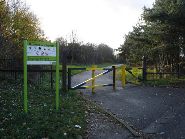
Broxtowe Country Park
1.6 miles (2.5 km)
![]()
![]() This country park in Nottingham has some nice cycling and walking trails to try. The park covers 46 hectares and includes nice surfaced trails, open grassland and woodland areas with bluebells in the spring. There's also lots of pretty wildflowers and woodland birds to look out for. Keep your eyes peeled for Green woodpeckers and Ramsons (wild garlic).
This country park in Nottingham has some nice cycling and walking trails to try. The park covers 46 hectares and includes nice surfaced trails, open grassland and woodland areas with bluebells in the spring. There's also lots of pretty wildflowers and woodland birds to look out for. Keep your eyes peeled for Green woodpeckers and Ramsons (wild garlic).
The park is also home to a great BMX track with tracks and jumps to cater for all ages and abilities.
To continue your exercise you could head to West Bridgford and visit Holme Pierrepont Country Park and Colwick Country Park for more nice cycling and walking paths.


