Buckden Pike Short Waterfall Walk
![]()
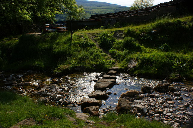
![]() This route climbs to Buckden Pike along the Buckden Beck. It's the shortest route to the summit from the village, passing lots of pretty waterfalls on the way. The route runs for about 1.5 miles so around 3 miles there and back.
This route climbs to Buckden Pike along the Buckden Beck. It's the shortest route to the summit from the village, passing lots of pretty waterfalls on the way. The route runs for about 1.5 miles so around 3 miles there and back.
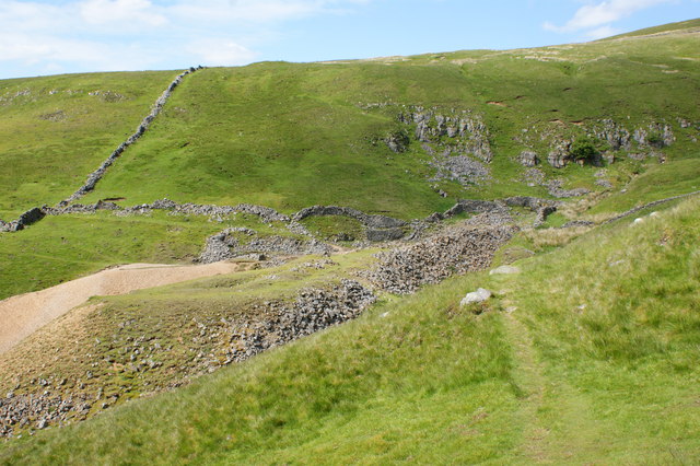
The walk starts from the public parking area in the village of Buckden. From here you can pick up a footpath heading north east along the Buckden Beck. You'll pass a series of waterfalls and the old Buckden Lead Mine before coming to the Buckden Pike summit. From the 702 metres (2,303 ft) high point there are marvellous views over the Yorkshire Dales including Wharfedale and the Nidderdale AONB. After taking in the views the route descends on the same path.
Buckden Pike Short Waterfall Walk Ordnance Survey Map  - view and print off detailed OS map
Buckden Pike Short Waterfall Walk Open Street Map  - view and print off detailed map
Buckden Pike Short Waterfall Walk OS Map  - Mobile GPS OS Map with Location tracking
Buckden Pike Short Waterfall Walk Open Street Map  - Mobile GPS Map with Location tracking
Pubs/Cafes
After your exercise you can enjoy some well earned refreshment at the Buck Inn. The fine Georgian coaching inn now has an attractive contempary interior. There's also outdoor seating with nice views of the village and surrounding countryside. You can find them at postcode BD23 5JA for your sat navs.
Further Information and Other Local Ideas
For a longer circular walk to the summit see the Buckden Pike Walk page.
The Upper Wharfedale Wildlife Walk also starts in the village. The wildlife rich circular walk explores the area around Yockenthwaite and Hubberholme to the west of the Pike.
For more walking ideas in the area see the Nidderdale Walks and Yorkshire Dales Walks pages.
Cycle Routes and Walking Routes Nearby
Photos
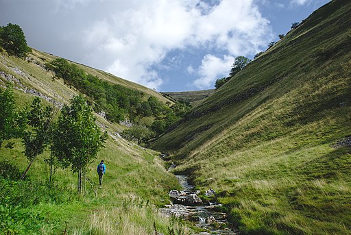
Buckden Beck. The steep sided narrow valley tributary of Buckden Beck provides an excellent alternative to the ascent of Buckden Pike.
Approaching Buckden Pike Summit. Traversing the summit ridge towards the trig point on Buckden Pike at 2,302ft. I once saw York Minster from here to the east, and some of the Lake District peaks in the opposite direction - but not to day, although sunny there was little clarity.


