Cameron Reservoir
![]()
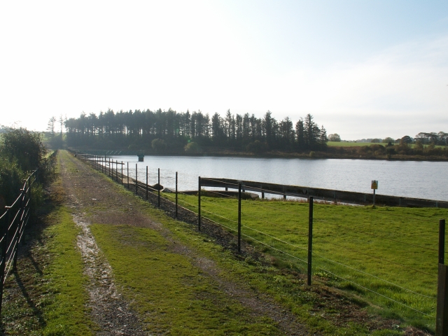
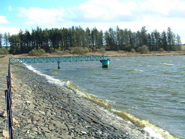
![]() This lovely reservoir in Fife has a nice 2 mile footpath running around the perimeter. You can park at the eastern side of the water, just off the A915 and then pick up the trail. There's splendid views across the water, some nice woodland sections and lots of wildfowl to look out for.
This lovely reservoir in Fife has a nice 2 mile footpath running around the perimeter. You can park at the eastern side of the water, just off the A915 and then pick up the trail. There's splendid views across the water, some nice woodland sections and lots of wildfowl to look out for.
The site is located near St Andrews and just a couple of miles south of Craigtoun Country Park. You can extend your walking here and visit the park's ruined temple, nature trail, Italian garden, greenhouses and formal gardens.
Postcode
KY16 8PD - Please note: Postcode may be approximate for some rural locationsCameron Reservoir Ordnance Survey Map  - view and print off detailed OS map
Cameron Reservoir Open Street Map  - view and print off detailed map
Cameron Reservoir OS Map  - Mobile GPS OS Map with Location tracking
Cameron Reservoir Open Street Map  - Mobile GPS Map with Location tracking
Cycle Routes and Walking Routes Nearby
Photos
East Dam, Cameron reservoir. Looking South across the main dam of the Reservoir which supplies water to St Andrews some 6ks to the North. It stands about 145 mts above sea level.
Fields by Cairnhill, Radernie. Looking more or less NW across this square from the high ground near Cairnhill down towards the flats of the Cameron Burn and the reservoir to right of photo. This square is all fields and farm tracks. The highest point on the skyline is Drum Carrow, 217 mts, some 3ks away.


