Castle Neroche Circular Walk
![]()
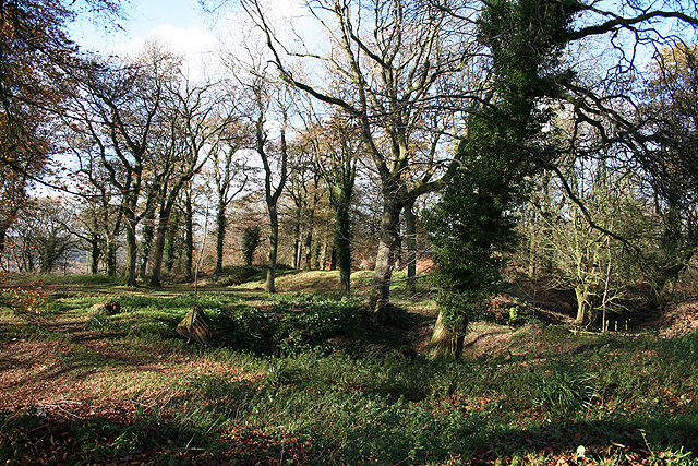
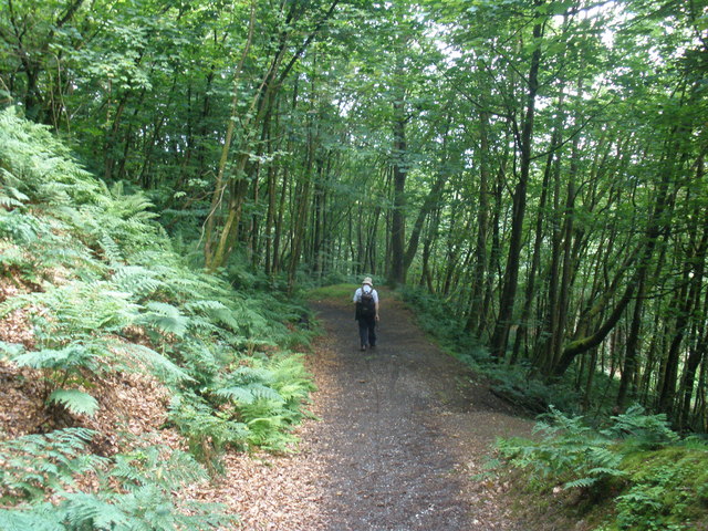
![]() This circular walk visits the site of a Norman motte-and-bailey castle in the Blackdown Hills. It's a lovely place for a walk with woodland trails and fine views from the high points on the route.
This circular walk visits the site of a Norman motte-and-bailey castle in the Blackdown Hills. It's a lovely place for a walk with woodland trails and fine views from the high points on the route.
Start the walk from the parking area just to the south east of the site. There's handy information boards detailing the history of the area and showing walking trails you can follow here.
From the car park you can pick up a footpath heading north west up to the castle. Here you'll find earthen ramparts where an Iron-Age hillfort and a Norman Castle once stood. The hillfort dates back to 2,600 years ago while the castle was built in the 11th century by William the Conqueror’s half brother Robert, Count of Mortain. From the 260 metres (850 ft) high summit there are fine views of the Mendips and Quantocks Hills.
After exploring the site you can then follow a series of trails through the surrounding woodland before returning to the car park.
Postcode
TA20 3JZ - Please note: Postcode may be approximate for some rural locationsCastle Neroche Ordnance Survey Map  - view and print off detailed OS map
Castle Neroche Open Street Map  - view and print off detailed map
Castle Neroche OS Map  - Mobile GPS OS Map with Location tracking
Castle Neroche Open Street Map  - Mobile GPS Map with Location tracking
Pubs/Cafes
Head south from the site and you'll soon come to the pretty little village of Buckland St Mary. Here you can pay a visit to the Eagle Tavern. The pub has a good menu and a lovely large beer garden to sit out in on warmer days. You can find the pub at postcode TA20 3JE for your sat navs.
Dog Walking
The woodland trails around the site make for a fine dog walk so you'll probably bump into other owners on a fine day. The Eagle Tavern mentioned above is also dog friendly.
Further Information and Other Local Ideas
Head west from the site and you can enjoy some nice waterside trails along the
Otterhead Lakes. This nature reserve in Otterford has some nice footpaths taking you along the two lakes and the River Otter. It's a great spot for gentle strolls and wildlife watching.
The long distance Staple Fitzpaine Herepath also runs through the area. This shared cycling and walking trail is often started from the car park at the castle. It will take you round to Thurlbear Wood where there's some fine ancient woodland, wildflowers and lots of wildlife to see.
A few miles east of the castle you can try the circular Ilminster Walk where there are nice trails along the River Isle.
For more walks in the AONB see the Blackdown Hills Walks page.


