Cave Dale
![]()
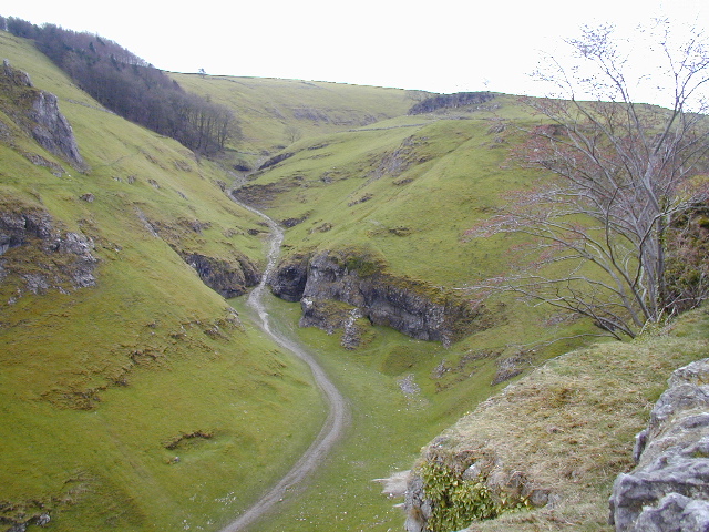
![]() A circular walk from Castleton visiting the striking Cave Dale and Pin Dale in the Peak District. The imposing gorge was formed by glacial meltwater carving a deep narrow valley in the local limestone. There's some wonderful limestone scenery and great views of the Derbyshire Dales countryside from the high points. The walk climbs to a height of over 1400ft (426m) so it is quite a challenging hike.
A circular walk from Castleton visiting the striking Cave Dale and Pin Dale in the Peak District. The imposing gorge was formed by glacial meltwater carving a deep narrow valley in the local limestone. There's some wonderful limestone scenery and great views of the Derbyshire Dales countryside from the high points. The walk climbs to a height of over 1400ft (426m) so it is quite a challenging hike.
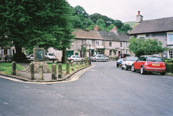
The route starts in the popular village of Castleton where you enter the dale through a narrow rocky opening near the village centre. You then head south past the ruins of Peveril Castle, using a section of the Limestone Way long distance trail.
The 11th century castle was founded some time between the Norman Conquest of 1066 and its first recorded mention in the Domesday Survey of 1086. From its elevated position you can enjoy great views over the Hope Valley.
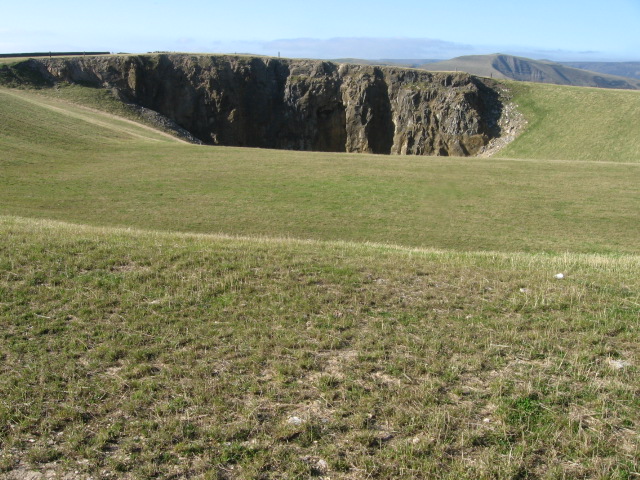
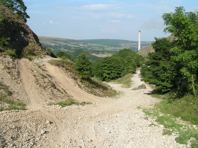
You follow the waymarked trail through Cave Dale for just under 2 miles before turning east and then north to Dirtlow Rake. You'll pass a series of disused mines before coming to Pin Dale where there's some lovely scenery.
At Pin Dale Farm you turn west and follow country lanes back in to Castleton.
To extend your walking in the Castleton area you could try our Castleton Circular Walk. This visits some of the other highlights of the area including Mam Tor, Winnats Pass, Hollins Cross and Lose Hill.
You could also head east from Castleton and explore the beautiful Hope Valley where there's nice trails along the River Derwent.
You could also continue south along the epic Limestone Way and visit the Derbyshire Dales around Buxton.
Postcode
S33 8WS - Please note: Postcode may be approximate for some rural locationsCave Dale Ordnance Survey Map  - view and print off detailed OS map
Cave Dale Open Street Map  - view and print off detailed map
Cave Dale OS Map  - Mobile GPS OS Map with Location tracking
Cave Dale Open Street Map  - Mobile GPS Map with Location tracking
Pubs/Cafes
In Castleton head to Ye Olde Nags Head on Cross St (Postcode: S33 8WH). Set in a 17th-century former coaching inn, this traditional village pub serves great food and has a good selection of ales. The pub is very walker friendly and has a a great atmosphere.
