Chilham to Canterbury Walk
7 miles (11.2 km)
![]()
![]() This walk takes you from the pretty Kent village of Chilham to the historic city of Canterbury.
This walk takes you from the pretty Kent village of Chilham to the historic city of Canterbury.
The route runs for a distance of 7 miles following a section of the waymarked Stour Valley Walk.
Starting in Chilham the route heads east to Bagham and Chartham before heading into Canterbury on a splendid riverside path. After leaving the river the walk continues to finish at the famous cathedral.
On the walk you will enjoy some fine views of the River Great Stour and the surrounding Kent countryside. There's also a series of pretty lakes and a cycle track in the Chartham area.
You can continue your walking on the Wye to Chilham Walk which takes you along a section of the North Downs Way to Wye.
Chilham to Canterbury Walk Ordnance Survey Map  - view and print off detailed OS map
Chilham to Canterbury Walk Open Street Map  - view and print off detailed map
*New* - Walks and Cycle Routes Near Me Map - Waymarked Routes and Mountain Bike Trails>>
Chilham to Canterbury Walk OS Map  - Mobile GPS OS Map with Location tracking
Chilham to Canterbury Walk Open Street Map  - Mobile GPS Map with Location tracking
Cycle Routes and Walking Routes Nearby
Photos

Chilham, Kent

Canterbury Cathedral
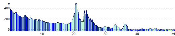
Elevation Profile