Clashnessie Falls Walk

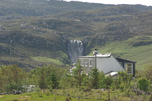
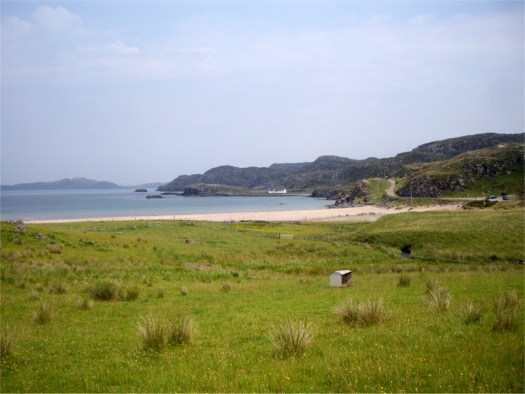
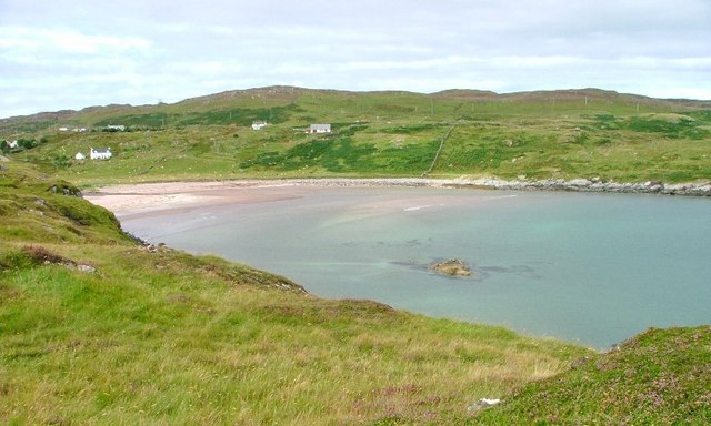
 This walk visits Clashnessie Falls and Clashnessie Bay in the Assynt area of Sutherland, on the north west coast of Scotland.
The walk starts from a roadside parking area north east of the falls. You can then head west and then south east towards the Clais an Eas burn to reach the falls. The 15m high falls are an impressive sight after rain.
The walk also passes the lovely Clashnessie Bay where there's a small sandy beach with a mild microclimate, due to the closeness of the Atlantic Ocean Gulf Stream.
To continue your walking in the area you could head north west to visit The Old Man of Stoer, a spectacular sea stack with whale and dolphin spotting opportunites.
Clashnessie Falls Ordnance Survey Map  - view and print off detailed OS map
Clashnessie Falls Open Street Map  - view and print off detailed map
Clashnessie Falls OS Map  - Mobile GPS OS Map with Location tracking
Clashnessie Falls Open Street Map  - Mobile GPS Map with Location tracking
Further Information and Other Local Ideas
To the south east there's waterside trails and the 15th century Ardvreck Castle to visit at Loch Assynt. Also not far is Eas a' Chual Aluinn, the highest waterfall in the UK.


