Colliers Moss Common
![]()
![]() This walk visits the Colliers Moss Common Nature Reserve in Bold Heath, St Helens.
This walk visits the Colliers Moss Common Nature Reserve in Bold Heath, St Helens.
The reserve was created from the wasteland of the old Bold Colliery and Power Station. It's now a pleasant place for a walk with a number of footpaths taking you to woodland, meadows, and a pond. There's plenty of interesting flora and fauna to look out for too. Cyclists can also enjoy the area with some decent off road tracks to try.
It's easy to extend your walk by heading about a mile south to visit Sutton Manor and Clock Face Country Park. There's more nice trails, viewpoints and the photogenic 'Dream' sculpture to see here.
Postcode
WA9 4AT - Please note: Postcode may be approximate for some rural locationsColliers Moss Common Ordnance Survey Map  - view and print off detailed OS map
Colliers Moss Common Open Street Map  - view and print off detailed map
Colliers Moss Common OS Map  - Mobile GPS OS Map with Location tracking
Colliers Moss Common Open Street Map  - Mobile GPS Map with Location tracking
Dog Walking
The reserve is dog friendly and a popular place with dog walkers.
Cycle Routes and Walking Routes Nearby
Photos
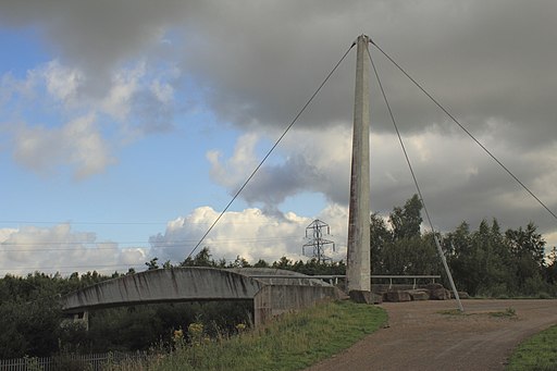
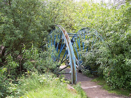
Colliers Moss Common Nature Reserve. This is a view of part of Colliers Moss Common Nature Reserve. It used to be the site of the slag heaps made by the dumping of waste by Bold Colliery and Bold Power Station, both now long gone.


