Combe Sydenham Country Park
![]()
![]() This country park consists of 500 acres of woodland, parkland and gardens surrounding a Grade I listed 15th century manor house. The house has an interesting history being previously owned by Elizabeth Sydenham who married Sir Francis Drake. It is alleged that Sir Francis Drake fired a cannonball into the grounds of the manor to warn Elizabeth not to marry another man.
This country park consists of 500 acres of woodland, parkland and gardens surrounding a Grade I listed 15th century manor house. The house has an interesting history being previously owned by Elizabeth Sydenham who married Sir Francis Drake. It is alleged that Sir Francis Drake fired a cannonball into the grounds of the manor to warn Elizabeth not to marry another man.
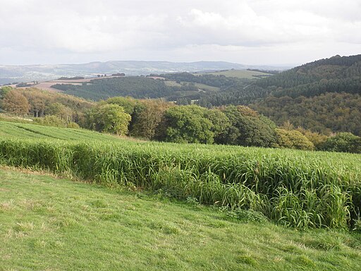
The expansive estate is a great place for walking with miles of waymarked trails to follow. There's lots to see with a deer park, herb garden, rose garden and peacock house. You can also stroll along a series of pretty pools with a lovely cascading stream, waterfalls and lots of wildlife to look out for. There is also a hill to climb with a viewpoint proffering great views over the of the Quantock hills and across the Seven Estuary to Wales.
If you'd like to continue your walking in the area then you could head further into the Brendon Hills and climb to the high point of Lype Hill for more great views. The Coleridge Way also passes the park so you could pick up this long distance walk and head towards the Brendon Hills or the Quantocks.
The little village of Monksilver is a good place to go for a bite to eat after your walk.
Postcode
TA4 4JG - Please note: Postcode may be approximate for some rural locationsCombe Sydenham Country Park Ordnance Survey Map  - view and print off detailed OS map
Combe Sydenham Country Park Open Street Map  - view and print off detailed map
Combe Sydenham Country Park OS Map  - Mobile GPS OS Map with Location tracking
Combe Sydenham Country Park Open Street Map  - Mobile GPS Map with Location tracking
Pubs/Cafes
The little village of Monksilver is located very close to the park. Here you could visit the Notley Arms for some post walk refreshments. The pub has a lovely, large garden area with a pretty stream. It's perfect for relaxing in on warm summer days. They serve Somerset's finest Ales, Beers and Ciders as well as the best local produce for the meals, which are freshly prepared daily by the award winning team of chefs. They also provide excellent accommodation if you need to stay over. You can find the pub in the village at postcode TA4 4JB for your sat navs.
Dog Walking
The park is a nice place for dog walking but it's best to keep them on leads as there are game birds and deer on the estate.
Cycle Routes and Walking Routes Nearby
Photos
The park is densely wooded and one of the best mountain bike courses in the country is located within it. There are also fishing lakes and miles of woodland walks.
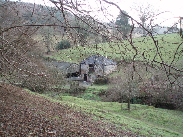
Barns at Culcombe Farm. The photograph is taken on the edge of Combe Sydenham Park which has an open access policy for walkers.


