Cross Fell Walk

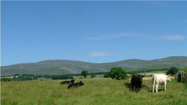
 This circular walk visits the noteworthy Cross Fell, the highest point of the Pennine Range and the highest peak in England outside of the Lake District. The walk begins in the village of Kirkland and takes you to the 893 metres (2,930 ft) summit using bridleways and the Pennine Way.
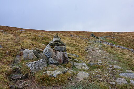
You start off a few miles west of the hill, in the little settlement of Kirkland where some parking is available on the village roads. You then follow footpaths to Cocklock Scar and Skirwith Fell, passing the Iron Well Spring on the way. At Skirwith Fell you turn right to the summit of Cross Fell, passing Cross Fell spring as you go. From the summit there are magnificent views of the Eden Valley, the Solway Firth, the Scottish mountains and the mountains of the Lake District. The route continues to Crowdundle Head where you have the option of returning to Kirkland or continuing along the Pennine Way to Little Dun Fell and Great Dun Fell. From Crowdundle Head you descend to Kirkland Fell, Wildboar Scar, Grumply Hill and Tottle Hill, following the Littledale beck for a while. The route then bears right to return to Kirkland.
This is a challenging walk on mostly well defined paths. It's best attempted in fine weather as the area can be quite inhospitable in rough conditions.
If you'd like to continue your walking in the North Pennines AONB then you could head to the nearby Cow Green Reservoir and Cauldron Snout Waterfall for some waterside walking.
Cross Fell Walk Ordnance Survey Map  - view and print off detailed OS map
Cross Fell Walk Open Street Map  - view and print off detailed map
Cross Fell Walk OS Map  - Mobile GPS OS Map with Location tracking
Cross Fell Walk Open Street Map  - Mobile GPS Map with Location tracking
Pubs/Cafes
Just over a mile north west of Kirkand you'll find the Fox Inn. The handsome pub has a good menu and fine views of the Eden Valley from its enviable position. It's dog friendly and has a nice outdoor area for warmer days. You can find the pub at Fellside Farm, Ousby with a postcode of CA10 1QB for your sat navs.
Further Information and Other Local Ideas
Near the summit you'll find the wonderfully positioned Greg's Hut, a small stone bothy where you can rest weary legs.


