Culham Lock Walk
![]()
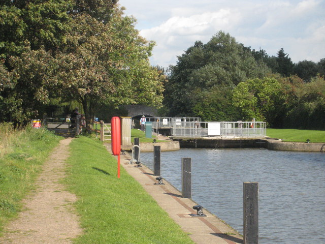
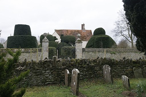
![]() A short circular walk around the delightful Oxfordshire village of Culham, passing the 15th century Culham Manor and the picturesque Culham Lock on the River Thames.
A short circular walk around the delightful Oxfordshire village of Culham, passing the 15th century Culham Manor and the picturesque Culham Lock on the River Thames.
You can start the walk from the free lock car park by the river. Then follow paths across Sutton Bridge to Sutton Pools to the north of the neighbouring village of Sutton Courtenay. You'll pass the picturesque weir and manor house before heading through the village and returning to the car park.
For a longer walk in the area try the Abingdon Circular Walk which starts from the nearby town.
Culham Ordnance Survey Map  - view and print off detailed OS map
Culham Open Street Map  - view and print off detailed map
Culham OS Map  - Mobile GPS OS Map with Location tracking
Culham Open Street Map  - Mobile GPS Map with Location tracking
Further Information and Other Local Ideas
Head east along the river and you will soon come to the neighbouring village of Clifton Hampden. The historic riverside settlement is well worth a visit with delightful thatched cottages, a listed 19th century bridge, a fine 14th century pub and a noteworthy church with elements dating back to the 12th century.
Cycle Routes and Walking Routes Nearby
Photos
Culham Lock. In the top right corner of the grid square, Culham Lock is one of the 44 manned locks on the river Thames, (although the lock keeper seen here in the white hat is a female). This stretch of the Thames that cuts across the top of the grid square is called Culham Cut. The lock was built of stone by the Thames Navigation Commission in 1809.


