Fife Coastal Path Culross To Limekilns Walk
![]()
![]() This walk takes you along a section of the Fife Coastal Path from Culross to the village of Limekilns.
This walk takes you along a section of the Fife Coastal Path from Culross to the village of Limekilns.
The walk runs for just under 8 miles, passing Preston Island, the Torryburn, Crombie and Charlestown before reaching Limekilns.
Near the start you will pass the Torry Bay Nature Reserve which includes a cycle path around Preston Island. The reserve is well worth exploring with a series of lagoons and a number of wading and wintering birds to look out for.
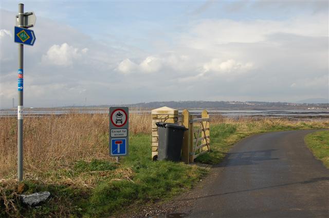
On the walk there are some splendid views over the Firth of Firth. The route also follows a surfaced path along National Cycle Route 76 so is great for cycling as well.
For the opening section of the trail see the Kincardine To Culross Walk which will take you west to the trail head at Kincardine.
Culross To Limekilns Ordnance Survey Map  - view and print off detailed OS map
Culross To Limekilns Open Street Map  - view and print off detailed map
Culross To Limekilns OS Map  - Mobile GPS OS Map with Location tracking
Culross To Limekilns Open Street Map  - Mobile GPS Map with Location tracking
Cycle Routes and Walking Routes Nearby
Photos
Charlestown harbour. This is the outer wall of Charlestown harbour which has been allowed to deteriorate to this dangerous condition. The harbour was built in the 1750s by Charles Bruce, the 5th Earl of Elgin to carry coal, quicklime and iron ore to the rest of Scotland. I believe the harbour is still in the ownership of The Bruce Family.
Beach, Limekilns Harbour. Gravel beach and pipework with the woods surrounding the Limekilns boulders on the skyline. Limekilns is an old settlement dating back to the 14th century. For many centuries Limekilns was also the northern terminus for a ferry linking it to Bo'ness on the southern side of the Forth. This found an echo in Robert Louis Stevenson's Kidnapped: and it was from Limekilns that David Balfour and Alan Breck were carried across the Forth in a rowing boat.


