Dinas Oleu Walk
![]()
![]() This walk climbs to a hill fort and lovely viewpoint above the town of Barmouth. The site is historically significant as the first area of land donated to the National Trust in 1895 by Mrs Fanny Talbot.
This walk climbs to a hill fort and lovely viewpoint above the town of Barmouth. The site is historically significant as the first area of land donated to the National Trust in 1895 by Mrs Fanny Talbot.
It's a short climb to the hill top from train station and the town centre. From here you can enjoy splendid views over the Mawddach Estuary to the surrounding hills. You can start the walk from Dinas Oleu Lane, just a short stroll north east of the train station. From here you can pick up footpaths heading north east up to the viewpoint.
The hill is on the Panorama Walk so its easy to continue your walk if you have time. The popular trail climbs higher into the hills surrounding the town, with more wonderful views to enjoy.
Dinas Oleu Ordnance Survey Map  - view and print off detailed OS map
Dinas Oleu Open Street Map  - view and print off detailed map
Dinas Oleu OS Map  - Mobile GPS OS Map with Location tracking
Dinas Oleu Open Street Map  - Mobile GPS Map with Location tracking
Cycle Routes and Walking Routes Nearby
Photos
Mawddach Estuary from Dinas Oleu. A view of the Mawddach Estuary taken from the Panorama Walk, near Barmouth. The barrage, built in the 1960's to connect the harbour with the dunes called Ynys y Brawd, can be seen in the centre of the picture. Three photographs have been used to create this panoramic view.
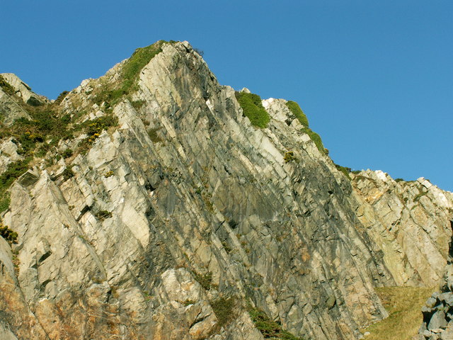
View ¾ way up 'the rock'. Dinas Oleu, Barmouth See the Bath House (white building), 'The Island' Ynys Y Brawd, the Bar and Fairbourne/Llwyngwril in the distance. The hills is translated as Citadel of Light. The hillside was the first tract of land to be donated to the National Trust.
Descending towards 'the rock' old town Barmouth from Dinas Oleu Descending towards 'the rock' old town Barmouth from Dinas Oleu.


