Doneraile Cliff Walk Tramore
![]() Follow the Doneraile Cliff Walk on this wonderful cliff top walk in Tramore, County Waterford.
Follow the Doneraile Cliff Walk on this wonderful cliff top walk in Tramore, County Waterford.
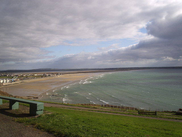
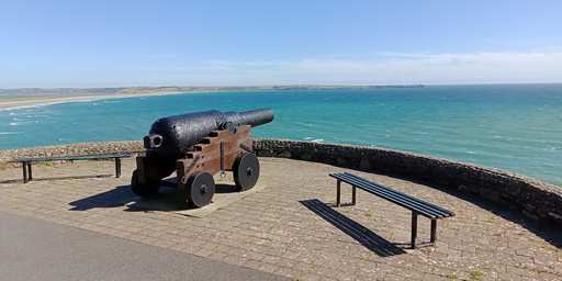
The well maintained route runs for about 1km with tremendous views over Tramore beach and sand dunes on one side and The Metal Man, a freestanding painted cast iron statue of a Royal Navy petty officer. Along the way there are benches where you can sit down and relax.
To continue your walking in the area head east to pick up the Tramore Sand Dunes walk along the lovely beach.
You could also head east along the coast and try the hugely popular Dunmore East Cliff Walk. To the north you can also pick up the Waterford Greenway, a cycling and walking trail along a disused railway line.
Doneraile Cliff Walk Tramore Open Street Map  - view and print off detailed map
Ireland Walking Map - View All the Routes in the Country>>
Doneraile Cliff Walk Tramore Open Street Map  - Mobile GPS Map with Location tracking
Further Information and Other Local Ideas
To the north west are the stunning Comeragh Mountains where you can try the popular Coumshingaun Lake Loop Walk or visit the picturesque Mahon Falls.
To the east you can see the oldest working lighthouse in the world at Hook Head. It's well worth a visit with guided tours and a maritime exhibition to see. The walk also visits the historic Slade Harbour and castle, which dates back to the 15th century.


