Eagle's Nest and 365 Steps Walk
![]()
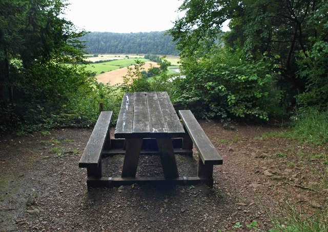
![]() This walk takes you to the Eagle's Nest viewpoint in the Wye Valley AONB. The site has been described as "one of the most impressive viewpoints in the British Isles".
This walk takes you to the Eagle's Nest viewpoint in the Wye Valley AONB. The site has been described as "one of the most impressive viewpoints in the British Isles".
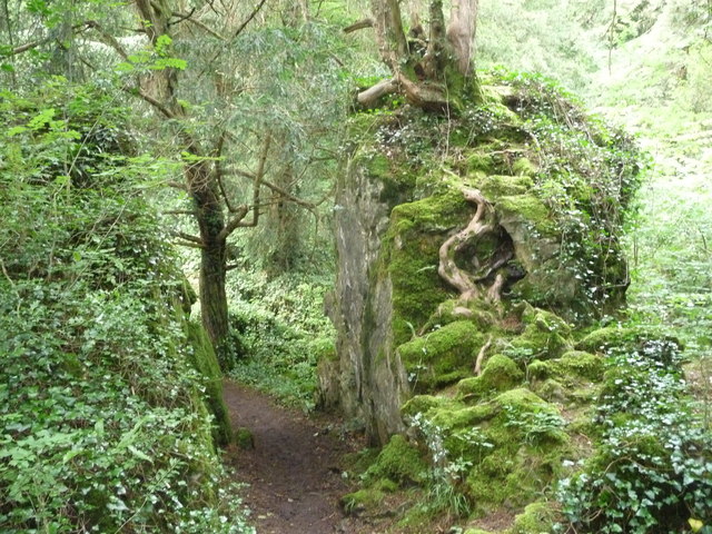
The viewpoint is located on Wynd Cliff south of Tintern and east of St Arvans village. It can be reached on the 365 steps from the car park at Lower Wyndcliff, just off the A466. Here you will find an information board with details on the walk and the surrounding woodlands. You can then follow the winding footpath north west through the woods to reach the viewpoint. From here you can enjoy wonderful views over the River Wye Valley to the Severn Bridges and Wales.
The viewpoint is part of the Wye Valley Walk so you could continue on the trail to extend your walk. Follow the trail north will take you to the historic ruins of Tintern Abbey, one of the major highlights of the area.
Eagle's Nest Ordnance Survey Map  - view and print off detailed OS map
Eagle's Nest Open Street Map  - view and print off detailed map
*New* - Walks and Cycle Routes Near Me Map - Waymarked Routes and Mountain Bike Trails>>
Eagle's Nest OS Map  - Mobile GPS OS Map with Location tracking
Eagle's Nest Open Street Map  - Mobile GPS Map with Location tracking
Further Information and Other Local Ideas
For more walking ideas in the area see the Wye Valley Walks page.
Cycle Routes and Walking Routes Nearby
Photos
The Eagle's Nest viewpoint on the Wynd Cliff. The viewpoint was built in 1828 for its landowner the Duke of Beaufort as an extension to the walking path network already developed around the nearby Piercefield estate.
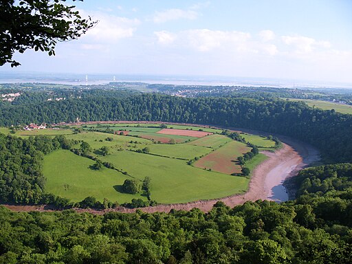
View from the Wyndcliffe. Samuel Taylor Coleridge described the view as "the whole world imaged in its vast circumference". The view includes the farmland on the opposite bank of the Wye at Lancaut; the cliff face at Wintour's Leap; Chepstow Castle and the adjoining town; the mouth of the Wye at Beachley; the Severn estuary, Severn Bridge and Second Severn Crossing; and the Cotswold Hills beyond.


