Ennerdale Water Walk

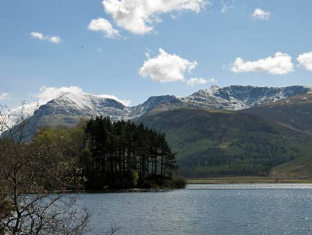
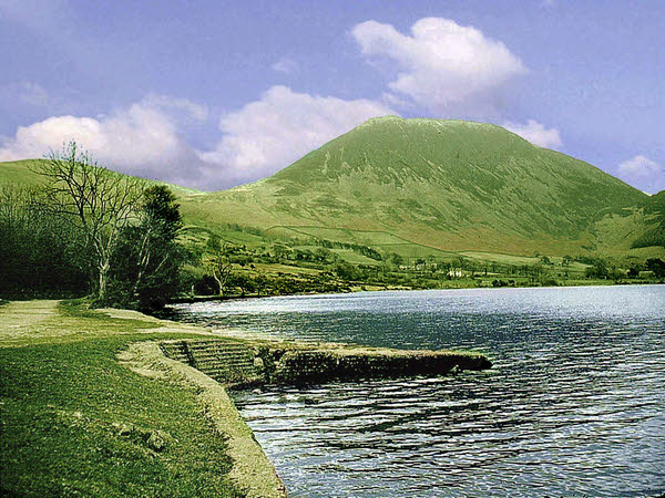
 Follow the lovely lakeside path around Ennerdale water on this circular walk in the Lake District National Park. Ennerdale is ideal for a tranquil walk because of its remote location. It is also the only lake not to have a road running alongside it so is the perfect escape.
The well defined path runs close to the shoreline for most of the route with some woodland sections along the way. The views of Ennerdale valley are fabulous with some of the highest and best-known fells in Cumbria forming a spectacular backdrop - Great Gable, Green Gable, Brandreth, High Crag, Steeple and Pillar are all visible as you make your way around the lake.
The walk begins in the car park at the western end of the lake near Ennerdale Bridge where you can get refreshments in the Shepherd's Arms pub. There's also a car park at Bowness Knot on the northern end of the lake.
If you would like to continue your walk you could head into the adjacent Ennerdale Forest and enjoy a woodland hike along the River Liza.
A few miles to the north you will find Cogra Moss. This delightful little reservoir is a very peaceful spot with nice woodland trails to follow through the surrounding plantations.
Postcode
CA23 3AU - Please note: Postcode may be approximate for some rural locationsEnnerdale Water Ordnance Survey Map  - view and print off detailed OS map
Ennerdale Water Open Street Map  - view and print off detailed map
Ennerdale Water OS Map  - Mobile GPS OS Map with Location tracking
Ennerdale Water Open Street Map  - Mobile GPS Map with Location tracking
Pubs/Cafes
Head west of the lake to the Shepherd's Arms for some post walk refreshments. An old village-centre farm, the pub is a comfortable and friendly destination in the Lakeland tradition, offering visitors good food and good ales in the company of convivial locals. It's a popular stop off point for walkers doing the Wainwright's Coast to Coast as the route passes right through the area. Indoors there's a cosy interior with two real fires to warm yourself by during the winter months. Outside there's seating overlooking the waters of the pretty beck. The pub is dog friendly and also does good quality accommodation if you need to stay over. You can find it on Kirkland Road at Ennerdale Bridge with a postcode of CA23 3AR for your sat navs.
Dog Walking
The lake and surrounding woodland are a great place for a dog walk. The Shepherd's Arms pub at Ennerdale Bridge is also dog friendly.


