Fledborough Viaduct Walk
![]()
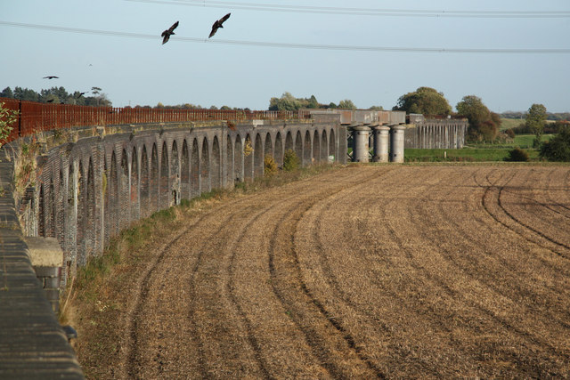
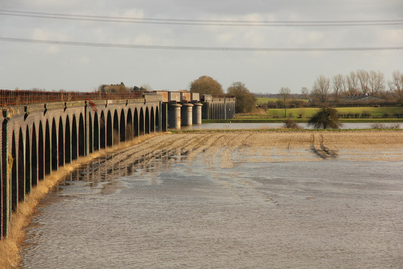
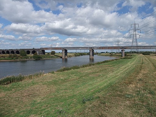
![]() This walk visits the impressive Fledborough Viaduct in Nottinghamshire.
This walk visits the impressive Fledborough Viaduct in Nottinghamshire.
The 19th century structure carries the Lancashire, Derbyshire and East Coast Railway over the River Trent.
This circular walk takes you to the viaduct from the nearby village of Dunham on Trent.
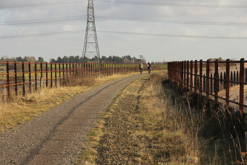
Start the walk in Dunham and head east over the river to pick up the Trent Valley Way. You can then follow the waymarked footpath south along the Trent to the viaduct. A shared cycling and walking trail then takes you over the structure where you can enjoy nice views over the surrounding countryside.
You can then follow footpaths north on the western side of the river, taking you past Fledborough and its old church.
For cyclists National Cycle Route 647 passes over the viaduct. You can follow the trail west to visit the popular Clumber Country Park or east to meet up with the Fossdyke Canal near Lincoln.


