Gouthwaite Reservoir
![]()
![]() This walk takes you around this delightful reservoir, near Pateley Bridge and Ramsgill. The route makes use of the Nidderdale Way footpath which runs around the reservoir. It's a super place for birdwatching with three viewing areas on the edge of the reservoir. Look out for great spotted woodpecker and nuthatch in the trees around the water. On the reservoir you can spot goosanders, goldeney, mallard, tufted duck and pochard. Other visitors include buzzard, red kite, hen harriers, merlins and kestrels.
This walk takes you around this delightful reservoir, near Pateley Bridge and Ramsgill. The route makes use of the Nidderdale Way footpath which runs around the reservoir. It's a super place for birdwatching with three viewing areas on the edge of the reservoir. Look out for great spotted woodpecker and nuthatch in the trees around the water. On the reservoir you can spot goosanders, goldeney, mallard, tufted duck and pochard. Other visitors include buzzard, red kite, hen harriers, merlins and kestrels.
This walk starts at the car park on the western end of the reservoir but you could also start at Pately Bridge and follow the River Nidd to the reservoir.
To extend your walk you could follow the Nidderdale Way to the spectacular limestone gorge at How Stean Gorge.
The Six Dales Trail also passes the through the area. If you follow if north you can cross Fountains Earth Moor and visit the nearby Leighton Reservoir.
Postcode
HG3 5AB - Please note: Postcode may be approximate for some rural locationsGouthwaite Reservoir Ordnance Survey Map  - view and print off detailed OS map
Gouthwaite Reservoir Open Street Map  - view and print off detailed map
Gouthwaite Reservoir OS Map  - Mobile GPS OS Map with Location tracking
Gouthwaite Reservoir Open Street Map  - Mobile GPS Map with Location tracking
Explore the Area with Google Street View 
Pubs/Cafes
At the southern end of the water you can visit the Sportsman's Arms where there is a bar/lounge, restaurant and hotel. They have a good bar menu and a nice cosy interior with a roaring log fire. In warmer months you can enjoy your drink and meal outside, surrounded by the sights and sounds of summer. The building also has an interesting history dating all the way back to the 1600s. You can find the inn at Wath with a postcode of HG3 5PP for your sat navs.
At the other end of the water you'll find the Yorke Arms in Ramsgill. It's another historic building having once been an 18th century coaching house. The site was also a monastic cheesery as far back as the eleventh century before becoming a coaching inn when the Yorke family disposed of their lands and properties. They do excellent food and have a lovely garden area too. You can find the hotel by the Ramsgill Beck at a postcode of HG3 5RL.
Dog Walking
The reservoir is a fine place for a dog walk and you will probably see other owners with their pets. The Yorke Arms mentioned above is also dog friendly.
Further Information and Other Local Ideas
If you follow the Nidderdale Way south east then you will arrive at one of the highlights of the area at Brimham Rocks. The National Trust owned site includes an extraordinary collection of large rock formations which are hundreds of millions of years old. It's a geoligically fascinating area with good walking trails across the surrounding Brimham Moor to explore. Just to the east of the rocks there's the more secluded Eavestone Lake to explore as well.
Just to the south east there's the worthy villages of Summerbridge and Dacre Banks. There's some nice river walks along the River Nidd and a fine 18th century pub to visit in this area.
For more walking ideas in the area see the Nidderdale Walks and the Yorkshire Dales Walks pages.
Cycle Routes and Walking Routes Nearby
Photos

View southwards to the dam with the bridged overflow to the left. One of a set of reservoirs providing the Bradford water supply. Gouthwaite was completed in 1901 as a compensation reservoir to ensure a steady flow of water down the river Nidd

A beautiful summer day in 2006. Looking towards the dam from the Wath to Ramsgill road.

View of the footpath by Gouthwaite Reservoir. Part of an excellent track beside the reservoir that runs from Wath towards Bouthwaite.

The head of Gouthwaite Reservoir. A much depleted reservoir in July 2002.

Nidderdale Way above Gouthwaite Reservoir. Long Distance Footpath climbing away from the reservoir to meet a walled track at the gate. This returns to the water side to follow a dismantled railway.

Countryside just north of the Reservoir. Tranquil fields in Upper Nidderdale. What is interesting about this photograph is that a railway once ran straight down this landscape pictured here - no evidence remains today

Gouthwaite Hall rebuilt to incorporate part of the 17th century Gouthwaite White Hall which would otherwise have been inundated by Gouthwaite reservoir in 1900. Listed Grade II.

Marshland at Gouthwaite. The amount of visible marsh varies a lot throughout the year with the reservoir. Photo taken in the middle of summer the reservoir at this end is fairly low, and much land is exposed.
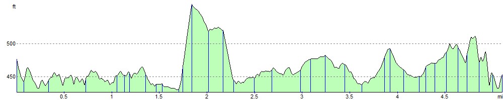
Elevation Profile