Hampshire Bowman and Droxford Walk
![]()
![]() This circular walk takes you from the popular Hampshire Bowman pub to Droxford using a mixture of public country footpaths in the area. The area is very attractive with views of the South Downs National Park on the way. This route runs for about 5 miles with small hill climbs on the way.
This circular walk takes you from the popular Hampshire Bowman pub to Droxford using a mixture of public country footpaths in the area. The area is very attractive with views of the South Downs National Park on the way. This route runs for about 5 miles with small hill climbs on the way.
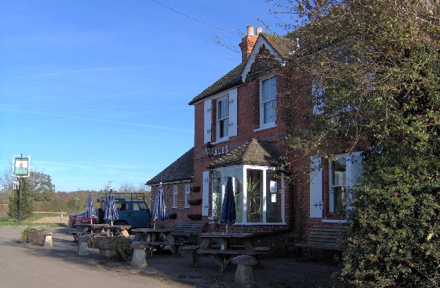
The route starts from the car park of the Hampshire Bowman Pub on Dundridge Lane in the village of Dundridge. It's located just over a mile east of the medieval town of Bishop's Waltham. From here you can follow footpaths up to Shepherds Down and Peak Down before picking up the Wayfarer's Walk to take you into Droxford. The pretty village includes quaint cottages, a mill pond and some nice footpaths along the River Meon which flows just to the east.
After exploring the village you then pick up country lanes to take you west to Upper Swanmore. The route then turns north to take you back to the pub where you can enjoy some well earned refreshments. The 19th century historic pub has a nice garden outdoors and a real fire indoors for colder days. The pub is dog friendly too if you have your canine friend with you.
Postcode
SO32 1GD - Please note: Postcode may be approximate for some rural locationsPlease click here for more information
Hampshire Bowman and Droxford Ordnance Survey Map  - view and print off detailed OS map
Hampshire Bowman and Droxford Open Street Map  - view and print off detailed map
Hampshire Bowman and Droxford OS Map  - Mobile GPS OS Map with Location tracking
Hampshire Bowman and Droxford Open Street Map  - Mobile GPS Map with Location tracking
Further Information and Other Local Ideas
To extend the walk pick up the Allan King's Way in Droxford and follow it south through the lovely Meon Valley to the Forest of Bere West Walk. You can also try the Wickham Railway Walk which uses part of the old railway to explore the area on a circular route.
For more walking ideas in the area see the South Downs Walks page.
Cycle Routes and Walking Routes Nearby
Photos
The Hampshire Bowman is hidden away down narrow country lanes. Situated along Dundridge Lane Dundridge, near Bishops Waltham & Swanmore. It has a excellent reputation for Good Food & Real Ales.
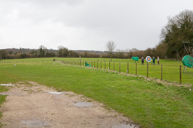
Dundridge Farm, Dundridge Lane. The white farm house was being refurbished at the time of photographing. To its right was a range of somewhat-disused old-style farm buildings.


